Basic Info
Basic Information
|
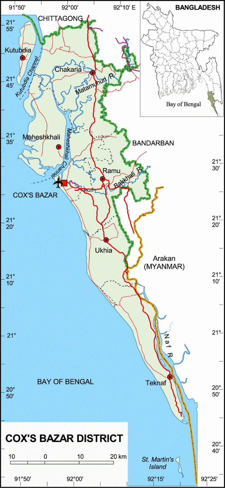
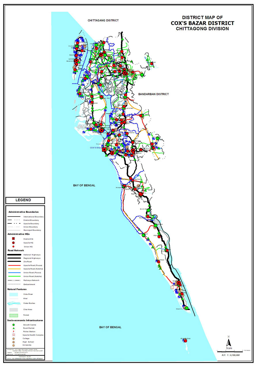
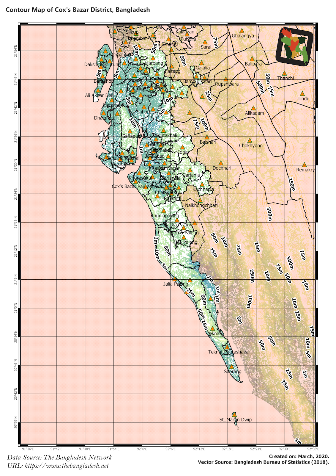
| Cox's Bazar District (Chittagong division) with an area of 2,491.86 sq km, is bounded by chittagong district on the north, bay of bengal on the south, bandarban district, Arakan (Myanmer) and the naf river on the east, the Bay of Bengal on the west. Annual average temperature maximum 34.8 oC and minimum 16.1 oC; annual rainfall 4285 mm. The district having been a coastal region often falls victim to sea storm, tidal bore, hurricane and cyclone. Main offshore islands: Maheshkhali, Kutubdia, Matarbari, Sonadia, Shah pari and St Martin's or Jinjira. Main rivers are the matamuhuri, bakkhali, Reju Khal, Naf, Maheshkhali channel and Kutubdia channel; Main forests areas are Phulchhari Range, Bhumaria-ghona Range, Meher-ghona Range, Bak Khali Range. Cox's Bazar represents the longest sea beach of the world and charming forest belt. |
At a Glance
|
| Area: |
2,492 Km2 |
| Upazila Road: |
396.75 Km |
| Union Road: |
540.31 Km |
| Village Road: |
1131.07 Km VA |
| 2072.29 Km VB |
| Population: |
22,57,797 |
| Density: |
1001 per Km2 |
| Literacy: |
66.62 % |
| Upazilas: |
8 |
| Union: |
71 |
| Pourashavas: |
4 |
| Primary Schools: |
628 |
| High Schools: |
|
| Colleges: |
|