
Ghoradhap is a union under Jamalpur Sadar Upazila of Jamalpur District with a total area of 29.461 square kilometers. The total population of the union is 26,395 among them 13,426 are male and 12,969 are female.
Map of Ghoradhap of Jamalpur District.
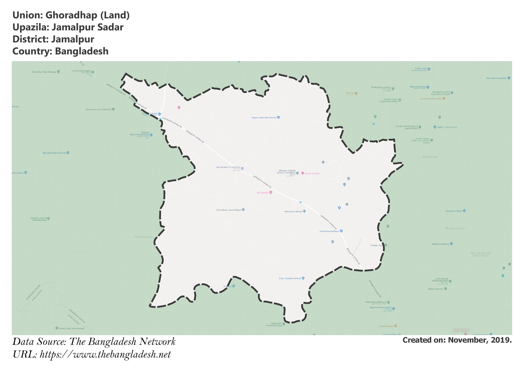
Map of Ghoradhap of Jamalpur Sadar Upazila.
Map Courtesy: The Bangladesh Network.