Purba Naodoba Union, Shariatpur
Purba Naodoba is a union under Zanjira Upazila of Shariatpur District with a total area of 28.421 square kilometers. The total population of the union is 15,441 among them 8,013 are male and 7,428 are female.
Map of Purba Naodoba of Shariatpur District.

Map of Purba Naodoba of Zanjira Upazila.
Map Courtesy: The Bangladesh Network.
- Details
Sener Char Union, Shariatpur
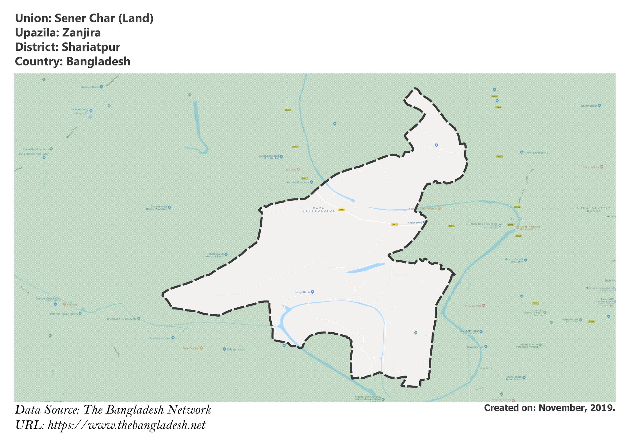
Sener Char is a union under Zanjira Upazila of Shariatpur District with a total area of 17.829 square kilometers. The total population of the union is 17,034 among them 8,791 are male and 8,243 are female.
Map of Sener Char of Shariatpur District.

Map of Sener Char of Zanjira Upazila.
Map Courtesy: The Bangladesh Network.
- Details
Zanjira Union, Shariatpur
Zanjira is a union under Zanjira Upazila of Shariatpur District with a total area of 8.445 square kilometers. The total population of the union is 6,847 among them 3,375 are male and 3,472 are female.
Map of Zanjira of Shariatpur District.

Map of Zanjira of Zanjira Upazila.
Map Courtesy: The Bangladesh Network.
- Details
Zanjira Paurashava, Shariatpur
Zanjira Paurashava is a union under Zanjira Upazila of Shariatpur District with a total area of 11.957 square kilometers. The total population of the union is 17,352 among them 8,825 are male and 8,527 are female.
Map of Zanjira Paurashava of Shariatpur District.

Map of Zanjira Paurashava of Zanjira Upazila.
Map Courtesy: The Bangladesh Network.
- Details
Bara Gopalpur Union, Shariatpur
Bara Gopalpur is a union under Zanjira Upazila of Shariatpur District with a total area of 8.464 square kilometers. The total population of the union is 8,983 among them 4,565 are male and 4,418 are female.
Map of Bara Gopalpur of Shariatpur District.

Map of Bara Gopalpur of Zanjira Upazila.
Map Courtesy: The Bangladesh Network.
- Details
