Amtali Union, Barguna
Amtali is a union under Amtali Upazila of Barguna District with a total area of 41.157 square kilometers. The total population of the union is 23,850 among them 12,122 are male and 11,728 are female.
Map of Amtali of Barguna District.

Map of Amtali of Amtali Upazila.
Map Courtesy: The Bangladesh Network.
- Details
Amtali Paurashava, Barguna
Amtali Paurashava is a union under Amtali Upazila of Barguna District with a total area of 7.796 square kilometers. The total population of the union is 13,305 among them 7,047 are male and 6,258 are female.
Map of Amtali Paurashava of Barguna District.

Map of Amtali Paurashava of Amtali Upazila.
Map Courtesy: The Bangladesh Network.
- Details
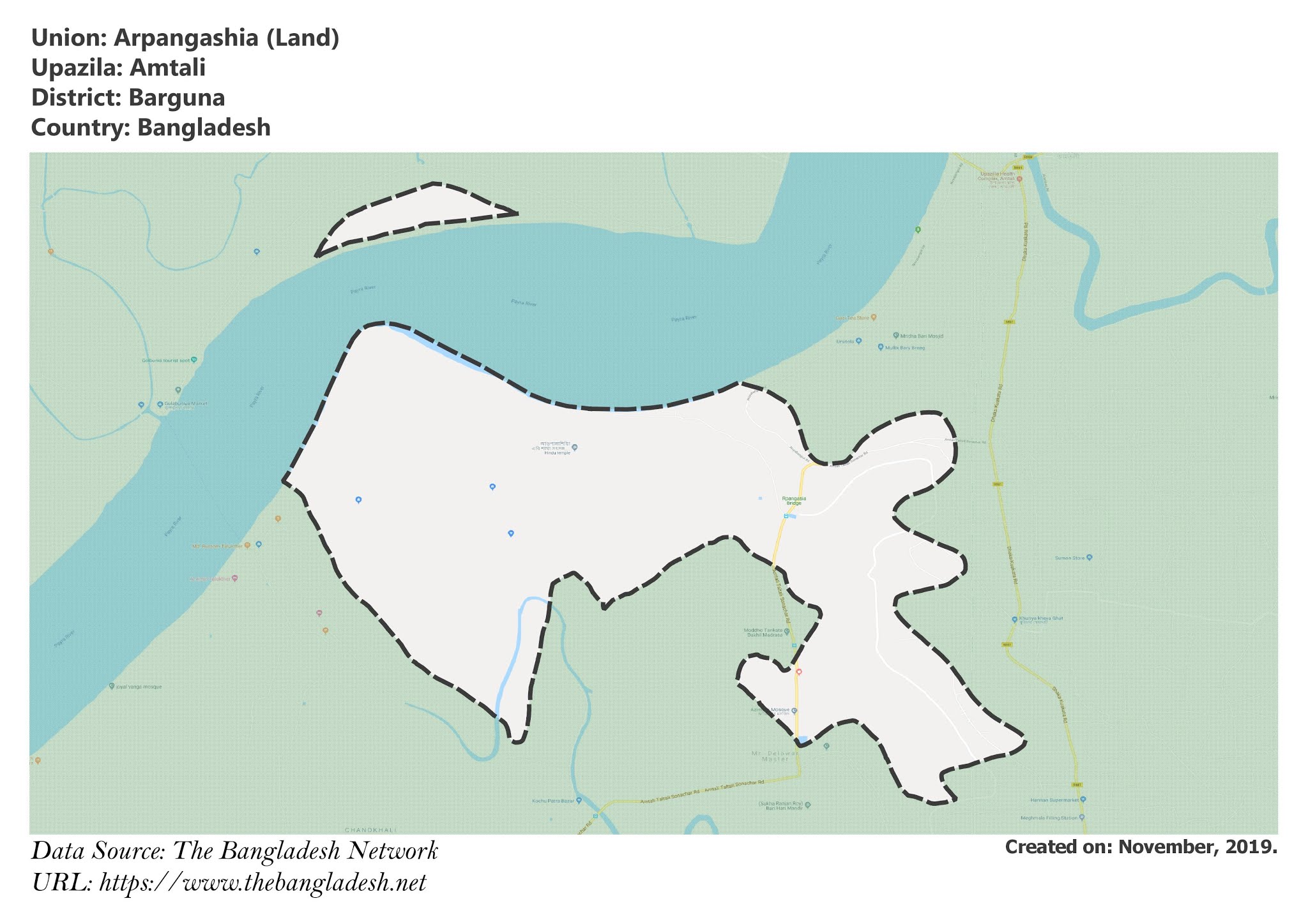
Arpangashia Union, Barguna
Arpangashia is a union under Amtali Upazila of Barguna District with a total area of 23.043 square kilometers. The total population of the union is 14,533 among them 7,483 are male and 7,050 are female.
Map of Arpangashia of Barguna District.

Map of Arpangashia of Amtali Upazila.
Map Courtesy: The Bangladesh Network.
- Details
Amtali Paurashava (Water), Barguna
Amtali Paurashava is a union under Amtali Upazila of Barguna District with a total area of 4.032 square kilometers. This is the map of the wet portion of the union.
Map of Amtali Paurashava of Barguna District.

Map of Amtali Paurashava of Amtali Upazila.
Map Courtesy: The Bangladesh Network.
- Details
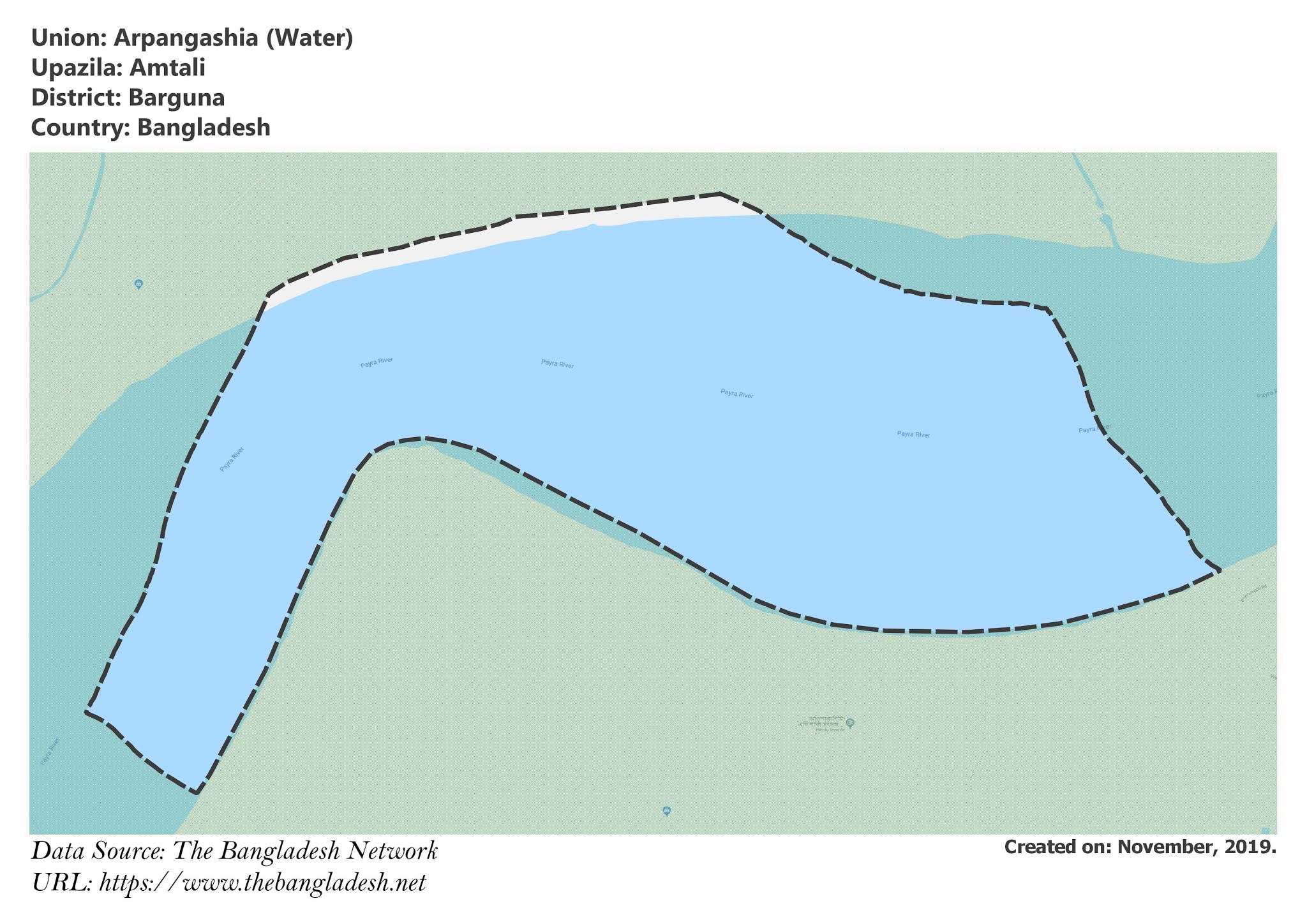
Arpangashia Union (Water), Barguna
Arpangashia is a union under Amtali Upazila of Barguna District with a total area of 8.411 square kilometers. This is the map of the wet portion of the union.
Map of Arpangashia of Barguna District.

Map of Arpangashia of Amtali Upazila.
Map Courtesy: The Bangladesh Network.
- Details
