Char Jasordi Union, Faridpur
Char Jasordi is a union under Nagarkanda Upazila of Faridpur District with a total area of 31.296 square kilometers. The total population of the union is 26,873 among them 13,787 are male and 13,086 are female.
Map of Char Jasordi of Faridpur District.

Map of Char Jasordi of Nagarkanda Upazila.
Map Courtesy: The Bangladesh Network.
- Details
Dangi Union, Faridpur
Dangi is a union under Nagarkanda Upazila of Faridpur District with a total area of 24.464 square kilometers. The total population of the union is 22,106 among them 11,272 are male and 10,834 are female.
Map of Dangi of Faridpur District.

Map of Dangi of Nagarkanda Upazila.
Map Courtesy: The Bangladesh Network.
- Details
Kodalia Shohidnagar Union, Faridpur
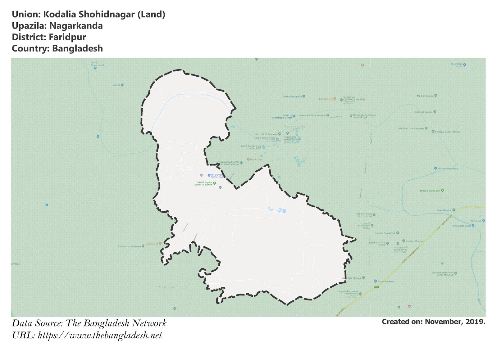
Kodalia Shohidnagar is a union under Nagarkanda Upazila of Faridpur District with a total area of 15.323 square kilometers. The total population of the union is 13,674 among them 6,936 are male and 6,738 are female.
Map of Kodalia Shohidnagar of Faridpur District.

Map of Kodalia Shohidnagar of Nagarkanda Upazila.
Map Courtesy: The Bangladesh Network.
- Details
Kaichail Union, Faridpur
Kaichail is a union under Nagarkanda Upazila of Faridpur District with a total area of 12.666 square kilometers. The total population of the union is 15,445 among them 7,911 are male and 7,534 are female.
Map of Kaichail of Faridpur District.

Map of Kaichail of Nagarkanda Upazila.
Map Courtesy: The Bangladesh Network.
- Details
Laskardia Union, Faridpur
Laskardia is a union under Nagarkanda Upazila of Faridpur District with a total area of 26.473 square kilometers. The total population of the union is 20,788 among them 10,700 are male and 10,088 are female.
Map of Laskardia of Faridpur District.

Map of Laskardia of Nagarkanda Upazila.
Map Courtesy: The Bangladesh Network.
- Details
