Bagat Union, Faridpur
Bagat is a union under Madhukhali Upazila of Faridpur District with a total area of 15.664 square kilometers. The total population of the union is 15,035 among them 7,561 are male and 7,474 are female.
Map of Bagat of Faridpur District.

Map of Bagat of Madhukhali Upazila.
Map Courtesy: The Bangladesh Network.
- Details
Dumain Union, Faridpur
Dumain is a union under Madhukhali Upazila of Faridpur District with a total area of 23.867 square kilometers. The total population of the union is 21,700 among them 11,122 are male and 10,578 are female.
Map of Dumain of Faridpur District.

Map of Dumain of Madhukhali Upazila.
Map Courtesy: The Bangladesh Network.
- Details
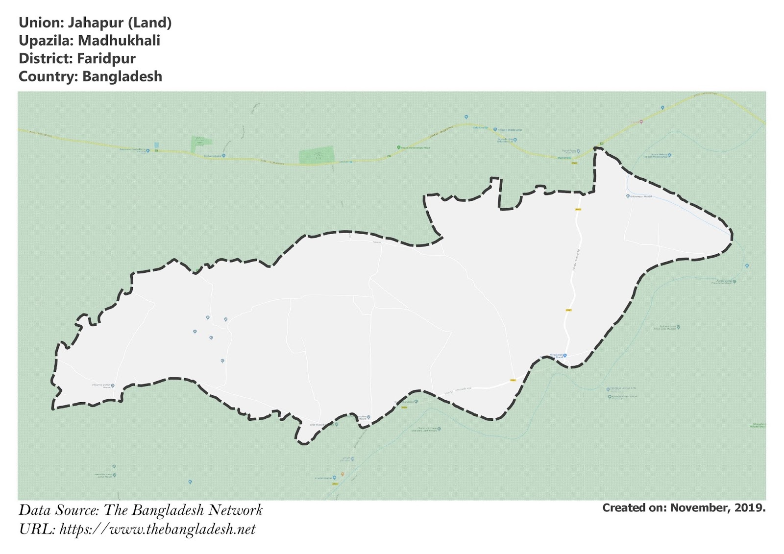
Jahapur Union, Faridpur
Jahapur is a union under Madhukhali Upazila of Faridpur District with a total area of 15.172 square kilometers. The total population of the union is 11,600 among them 5,833 are male and 5,767 are female.
Map of Jahapur of Faridpur District.

Map of Jahapur of Madhukhali Upazila.
Map Courtesy: The Bangladesh Network.
- Details
Gajna Union, Faridpur
Gajna is a union under Madhukhali Upazila of Faridpur District with a total area of 35.682 square kilometers. The total population of the union is 29,207 among them 15,077 are male and 14,130 are female.
Map of Gajna of Faridpur District.

Map of Gajna of Madhukhali Upazila.
Map Courtesy: The Bangladesh Network.
- Details
Kamarkhali Union, Faridpur
Kamarkhali is a union under Madhukhali Upazila of Faridpur District with a total area of 20.276 square kilometers. The total population of the union is 18,185 among them 9,297 are male and 8,888 are female.
Map of Kamarkhali of Faridpur District.

Map of Kamarkhali of Madhukhali Upazila.
Map Courtesy: The Bangladesh Network.
- Details
