Amtali Union, Gopalganj
Amtali is a union under Kotalipara Upazila of Gopalganj District with a total area of 17.122 square kilometers. The total population of the union is 18,567 among them 9,038 are male and 9,529 are female.
Map of Amtali of Gopalganj District.

Map of Amtali of Kotalipara Upazila.
Map Courtesy: The Bangladesh Network.
- Details
Bandhabari Union, Gopalganj
Bandhabari is a union under Kotalipara Upazila of Gopalganj District with a total area of 17.182 square kilometers. The total population of the union is 10,757 among them 5,397 are male and 5,360 are female.
Map of Bandhabari of Gopalganj District.

Map of Bandhabari of Kotalipara Upazila.
Map Courtesy: The Bangladesh Network.
- Details
Hiran Union, Gopalganj
Hiran is a union under Kotalipara Upazila of Gopalganj District with a total area of 19.055 square kilometers. The total population of the union is 20,954 among them 10,438 are male and 10,516 are female.
Map of Hiran of Gopalganj District.

Map of Hiran of Kotalipara Upazila.
Map Courtesy: The Bangladesh Network.
- Details
Ghagar Union, Gopalganj
Ghagar is a union under Kotalipara Upazila of Gopalganj District with a total area of 9.074 square kilometers. The total population of the union is 9,882 among them 5,016 are male and 4,866 are female.
Map of Ghagar of Gopalganj District.

Map of Ghagar of Kotalipara Upazila.
Map Courtesy: The Bangladesh Network.
- Details
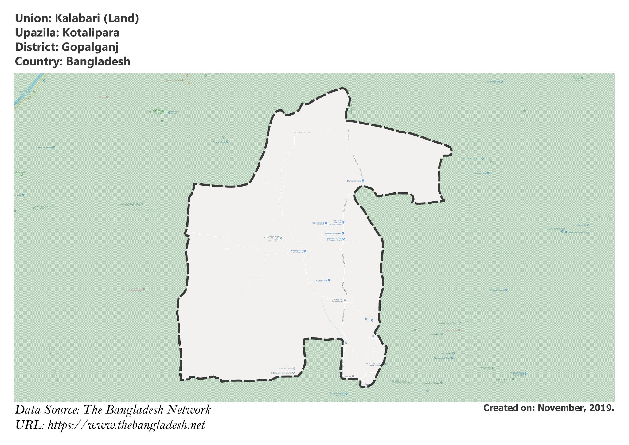
Kalabari Union, Gopalganj
Kalabari is a union under Kotalipara Upazila of Gopalganj District with a total area of 48.285 square kilometers. The total population of the union is 23,750 among them 12,040 are male and 11,710 are female.
Map of Kalabari of Gopalganj District.

Map of Kalabari of Kotalipara Upazila.
Map Courtesy: The Bangladesh Network.
- Details
