Baultali Union, Gopalganj
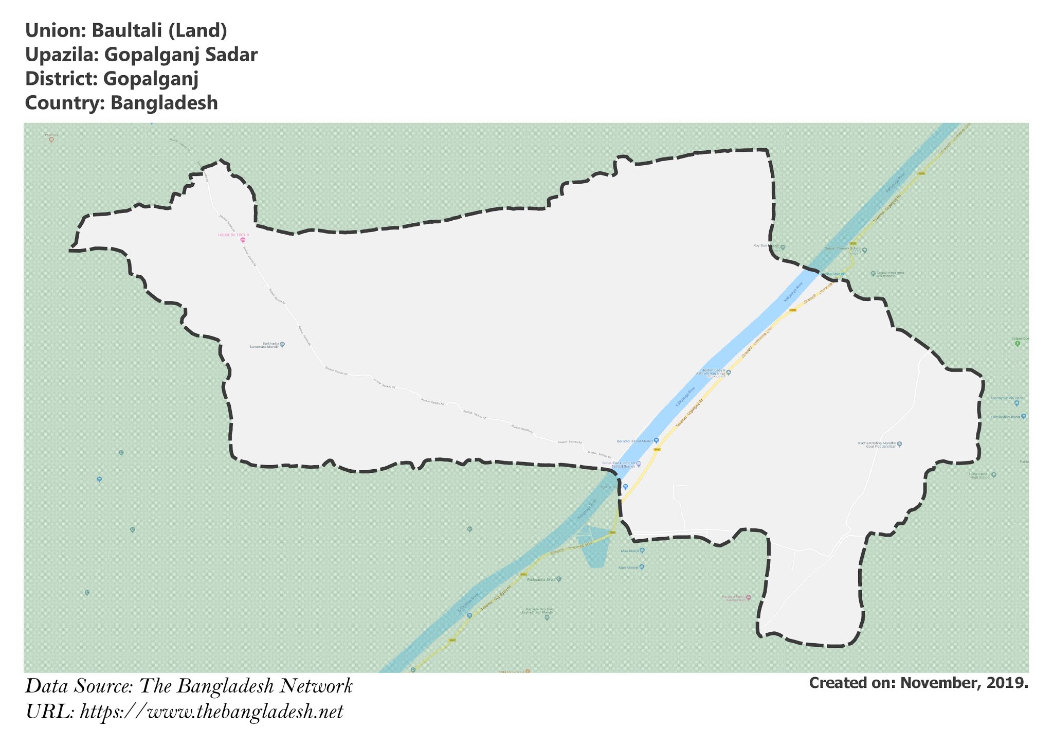
Baultali is a union under Gopalganj Sadar Upazila of Gopalganj District with a total area of 16.819 square kilometers. The total population of the union is 11,480 among them 5,892 are male and 5,588 are female.
Map of Baultali of Gopalganj District.

Map of Baultali of Gopalganj Sadar Upazila.
Map Courtesy: The Bangladesh Network.
- Details
Borasi Union, Gopalganj
Borasi is a union under Gopalganj Sadar Upazila of Gopalganj District with a total area of 7.067 square kilometers. The total population of the union is 11,365 among them 5,795 are male and 5,570 are female.
Map of Borasi of Gopalganj District.

Map of Borasi of Gopalganj Sadar Upazila.
Map Courtesy: The Bangladesh Network.
- Details
Durgapur Union, Gopalganj
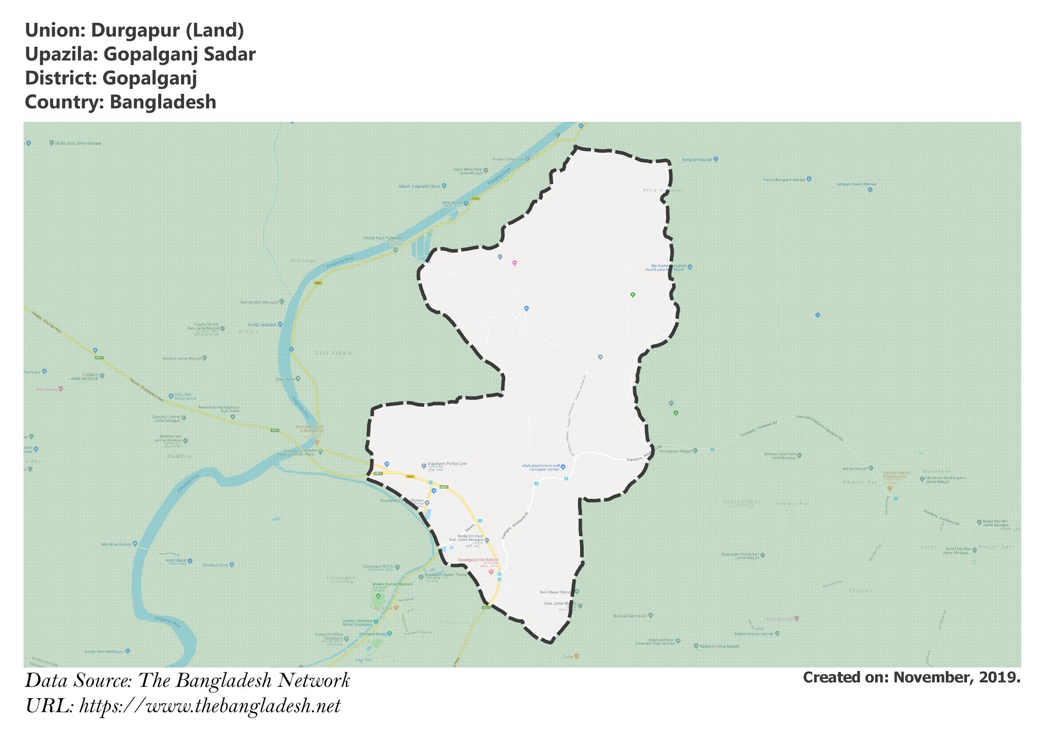
Durgapur is a union under Gopalganj Sadar Upazila of Gopalganj District with a total area of 18.367 square kilometers. The total population of the union is 17,136 among them 8,774 are male and 8,362 are female.
Map of Durgapur of Gopalganj District.

Map of Durgapur of Gopalganj Sadar Upazila.
Map Courtesy: The Bangladesh Network.
- Details
Chandra Dighalia Union, Gopalganj
Chandra Dighalia is a union under Gopalganj Sadar Upazila of Gopalganj District with a total area of 11.089 square kilometers. The total population of the union is 13,844 among them 7,558 are male and 6,286 are female.
Map of Chandra Dighalia of Gopalganj District.

Map of Chandra Dighalia of Gopalganj Sadar Upazila.
Map Courtesy: The Bangladesh Network.
- Details
Gobra Union, Gopalganj
Gobra is a union under Gopalganj Sadar Upazila of Gopalganj District with a total area of 15.918 square kilometers. The total population of the union is 11,273 among them 5,747 are male and 5,526 are female.
Map of Gobra of Gopalganj District.

Map of Gobra of Gopalganj Sadar Upazila.
Map Courtesy: The Bangladesh Network.
- Details
