Damudya Paurashava, Shariatpur
Damudya Paurashava is a union under Damudya Upazila of Shariatpur District with a total area of 7.252 square kilometers. The total population of the union is 15,066 among them 7,640 are male and 7,426 are female.
Map of Damudya Paurashava of Shariatpur District.

Map of Damudya Paurashava of Damudya Upazila.
Map Courtesy: The Bangladesh Network.
- Details
Darul Aman Union, Shariatpur
Darul Aman is a union under Damudya Upazila of Shariatpur District with a total area of 5.239 square kilometers. The total population of the union is 10,780 among them 5,111 are male and 5,669 are female.
Map of Darul Aman of Shariatpur District.

Map of Darul Aman of Damudya Upazila.
Map Courtesy: The Bangladesh Network.
- Details
Islam Pur Union, Shariatpur
Islam Pur is a union under Damudya Upazila of Shariatpur District with a total area of 9.14 square kilometers. The total population of the union is 8,141 among them 4,039 are male and 4,102 are female.
Map of Islam Pur of Shariatpur District.

Map of Islam Pur of Damudya Upazila.
Map Courtesy: The Bangladesh Network.
- Details
Dhankati Union, Shariatpur
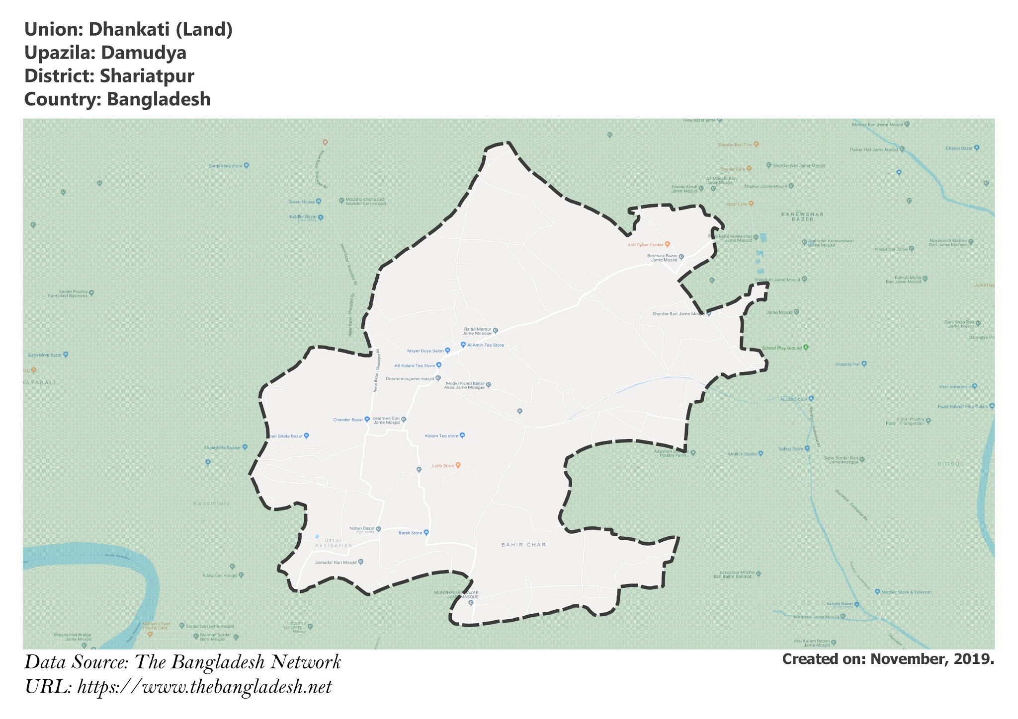
Dhankati is a union under Damudya Upazila of Shariatpur District with a total area of 24.323 square kilometers. The total population of the union is 21,225 among them 10,507 are male and 10,718 are female.
Map of Dhankati of Shariatpur District.

Map of Dhankati of Damudya Upazila.
Map Courtesy: The Bangladesh Network.
- Details
Kaneshwar Union, Shariatpur
Kaneshwar is a union under Damudya Upazila of Shariatpur District with a total area of 11.855 square kilometers. The total population of the union is 17,166 among them 8,226 are male and 8,940 are female.
Map of Kaneshwar of Shariatpur District.

Map of Kaneshwar of Damudya Upazila.
Map Courtesy: The Bangladesh Network.
- Details
