Gorai Union, Tangail
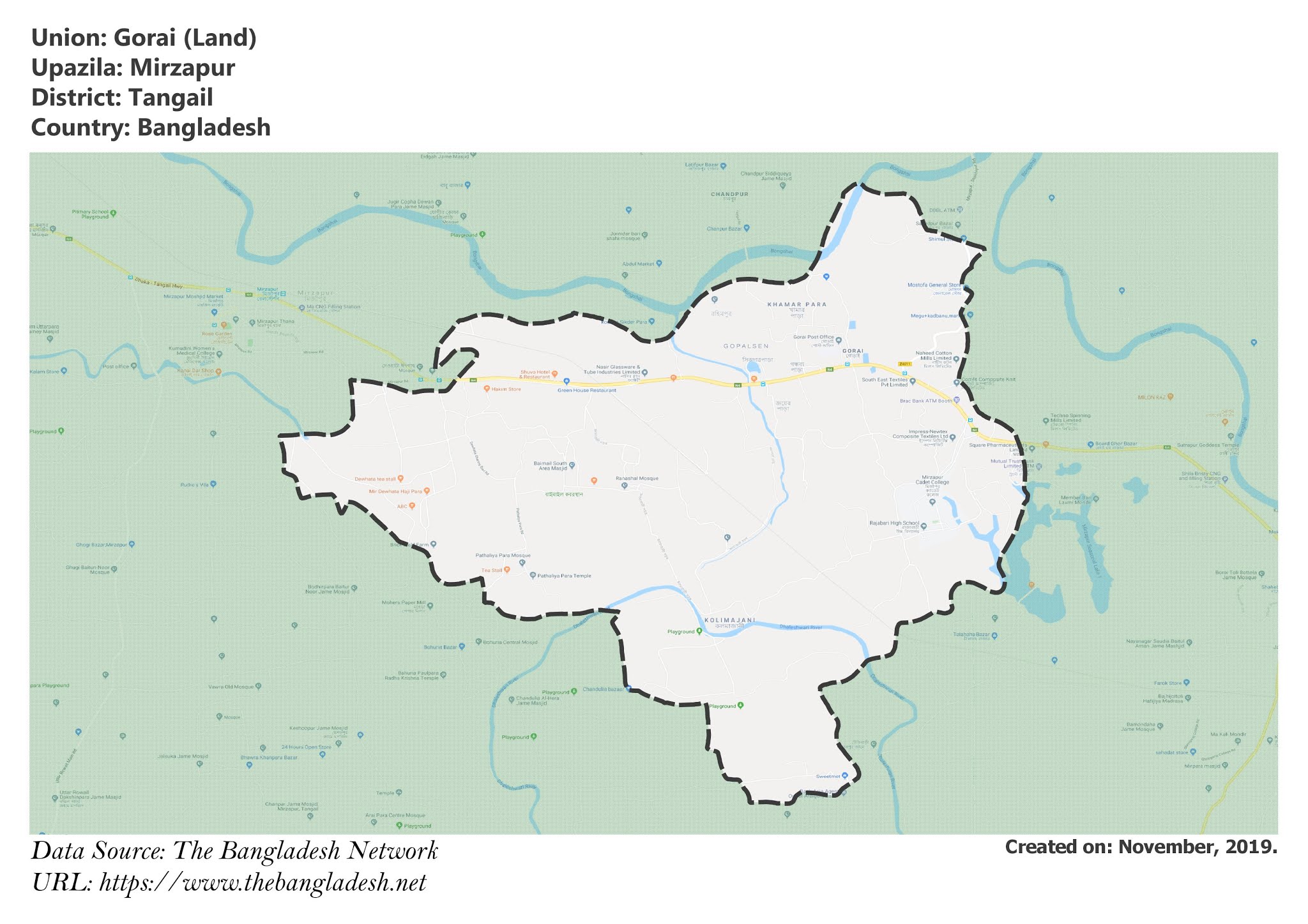
Gorai is a union under Mirzapur Upazila of Tangail District with a total area of 28.46 square kilometers. The total population of the union is 43,479 among them 23,062 are male and 20,417 are female.
Map of Gorai of Tangail District.

Map of Gorai of Mirzapur Upazila.
Map Courtesy: The Bangladesh Network.
- Details
Jamurki Union, Tangail
Jamurki is a union under Mirzapur Upazila of Tangail District with a total area of 19.591 square kilometers. The total population of the union is 31,663 among them 16,314 are male and 15,349 are female.
Map of Jamurki of Tangail District.

Map of Jamurki of Mirzapur Upazila.
Map Courtesy: The Bangladesh Network.
- Details
Mirzapur Paurashava, Tangail
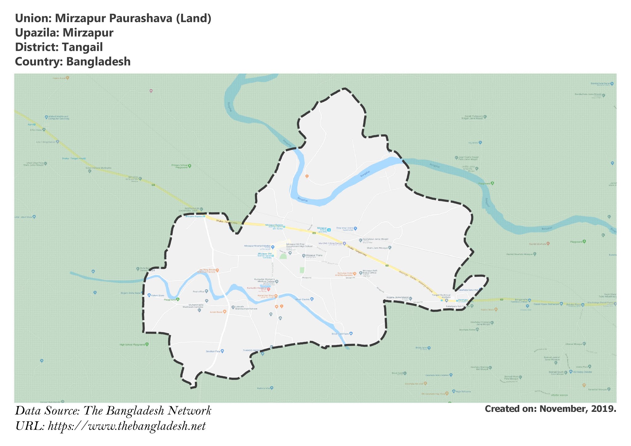
Mirzapur Paurashava is a union under Mirzapur Upazila of Tangail District with a total area of 9.704 square kilometers. The total population of the union is 23,537 among them 11,565 are male and 11,972 are female.
Map of Mirzapur Paurashava of Tangail District.

Map of Mirzapur Paurashava of Mirzapur Upazila.
Map Courtesy: The Bangladesh Network.
- Details
Mahera Union, Tangail
Mahera is a union under Mirzapur Upazila of Tangail District with a total area of 17.292 square kilometers. The total population of the union is 23,675 among them 11,854 are male and 11,821 are female.
Map of Mahera of Tangail District.

Map of Mahera of Mirzapur Upazila.
Map Courtesy: The Bangladesh Network.
- Details
Tarafpur Union, Tangail
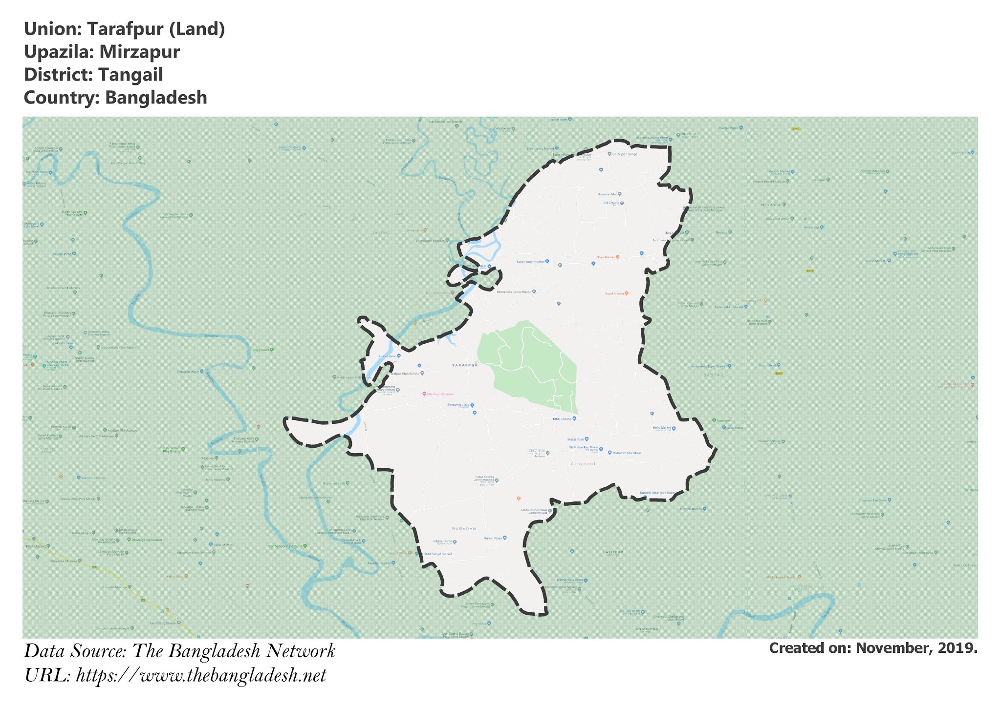
Tarafpur is a union under Mirzapur Upazila of Tangail District with a total area of 32.181 square kilometers. The total population of the union is 22,182 among them 11,385 are male and 10,797 are female.
Map of Tarafpur of Tangail District.

Map of Tarafpur of Mirzapur Upazila.
Map Courtesy: The Bangladesh Network.
- Details
