Alamnagar Union, Tangail
Alamnagar is a union under Gopalpur Upazila of Tangail District with a total area of 19.788 square kilometers. The total population of the union is 23,339 among them 11,671 are male and 11,668 are female.
Map of Alamnagar of Tangail District.

Map of Alamnagar of Gopalpur Upazila.
Map Courtesy: The Bangladesh Network.
- Details
Dhopakandi Union, Tangail
Dhopakandi is a union under Gopalpur Upazila of Tangail District with a total area of 23.275 square kilometers. The total population of the union is 28,545 among them 14,727 are male and 13,818 are female.
Map of Dhopakandi of Tangail District.

Map of Dhopakandi of Gopalpur Upazila.
Map Courtesy: The Bangladesh Network.
- Details
Hadira Union, Tangail
Hadira is a union under Gopalpur Upazila of Tangail District with a total area of 24.252 square kilometers. The total population of the union is 34,644 among them 17,477 are male and 17,167 are female.
Map of Hadira of Tangail District.

Map of Hadira of Gopalpur Upazila.
Map Courtesy: The Bangladesh Network.
- Details
Gopalpur Paurashava, Tangail
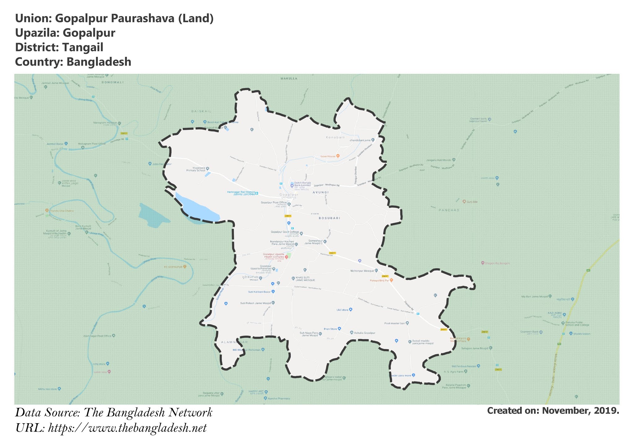
Gopalpur Paurashava is a union under Gopalpur Upazila of Tangail District with a total area of 23.202 square kilometers. The total population of the union is 50,966 among them 25,944 are male and 25,022 are female.
Map of Gopalpur Paurashava of Tangail District.

Map of Gopalpur Paurashava of Gopalpur Upazila.
Map Courtesy: The Bangladesh Network.
- Details
Hemnagar Union, Tangail
Hemnagar is a union under Gopalpur Upazila of Tangail District with a total area of 22.395 square kilometers. The total population of the union is 36,517 among them 18,459 are male and 18,058 are female.
Map of Hemnagar of Tangail District.

Map of Hemnagar of Gopalpur Upazila.
Map Courtesy: The Bangladesh Network.
- Details
