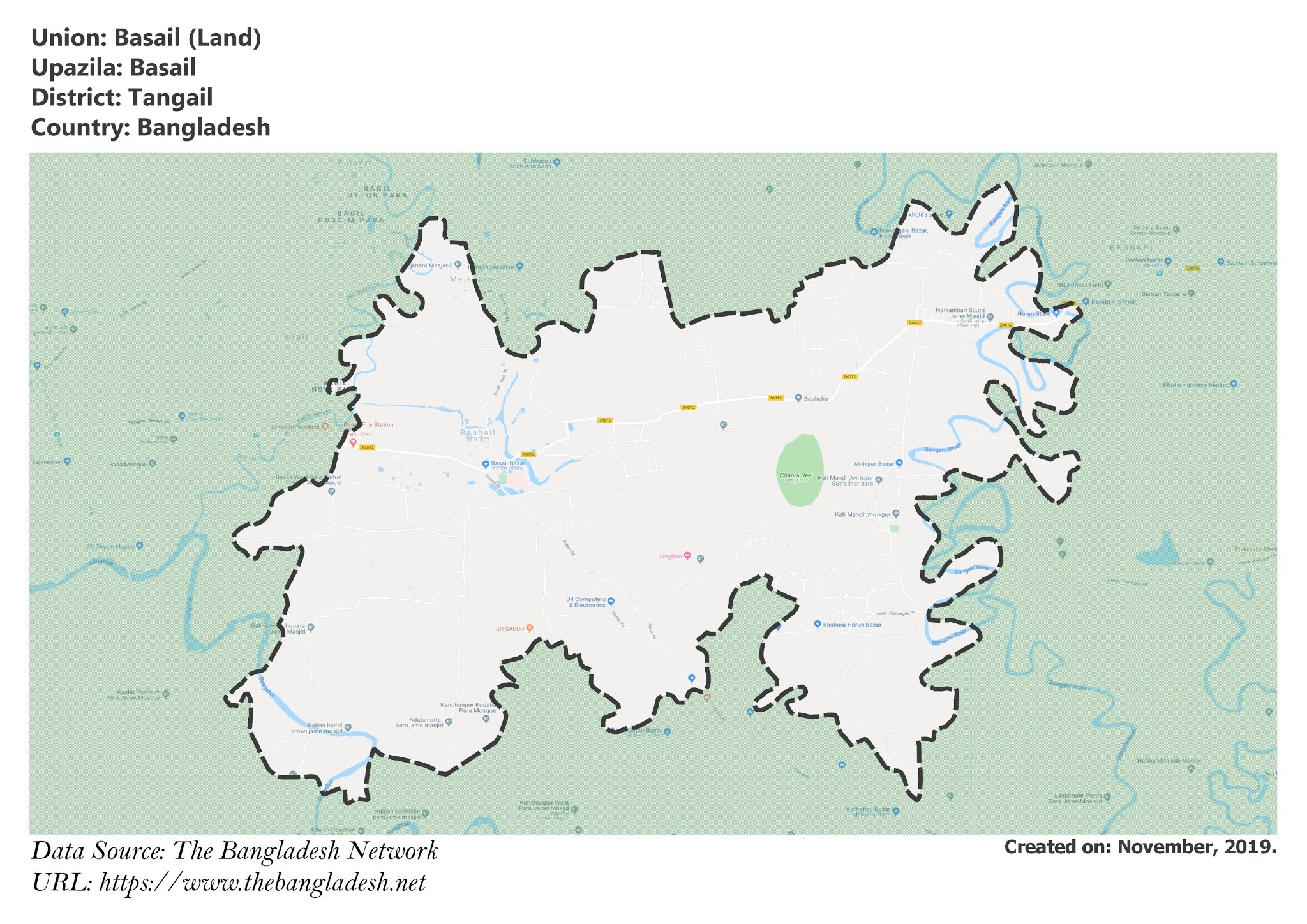
Basail Union, Tangail
Basail is a union under Basail Upazila of Tangail District with a total area of 27.554 square kilometers. The total population of the union is 26,570 among them 13,516 are male and 13,054 are female.
Map of Basail of Tangail District.

Map of Basail of Basail Upazila.
Map Courtesy: The Bangladesh Network.
- Details
Fulki Union, Tangail
Fulki is a union under Basail Upazila of Tangail District with a total area of 32.973 square kilometers. The total population of the union is 30,039 among them 15,165 are male and 14,874 are female.
Map of Fulki of Tangail District.

Map of Fulki of Basail Upazila.
Map Courtesy: The Bangladesh Network.
- Details
Kanchanpur Union, Tangail
Kanchanpur is a union under Basail Upazila of Tangail District with a total area of 30.117 square kilometers. The total population of the union is 24,688 among them 12,329 are male and 12,359 are female.
Map of Kanchanpur of Tangail District.

Map of Kanchanpur of Basail Upazila.
Map Courtesy: The Bangladesh Network.
- Details
Habla Union, Tangail
Habla is a union under Basail Upazila of Tangail District with a total area of 24.388 square kilometers. The total population of the union is 30,566 among them 15,418 are male and 15,148 are female.
Map of Habla of Tangail District.

Map of Habla of Basail Upazila.
Map Courtesy: The Bangladesh Network.
- Details
Kaoaljani Union, Tangail
Kaoaljani is a union under Basail Upazila of Tangail District with a total area of 23.495 square kilometers. The total population of the union is 22,824 among them 11,504 are male and 11,320 are female.
Map of Kaoaljani of Tangail District.

Map of Kaoaljani of Basail Upazila.
Map Courtesy: The Bangladesh Network.
- Details
