Maps
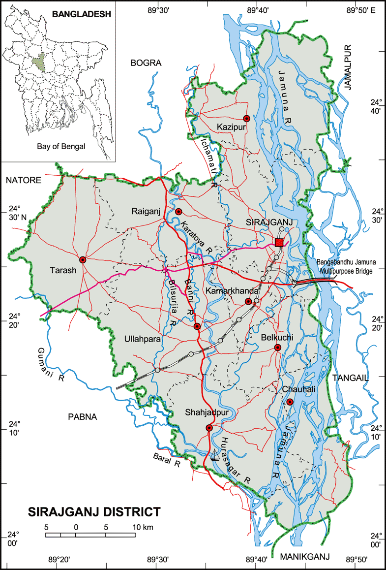
Map of Sirajganj District. Map Courtesy: Banglapedia
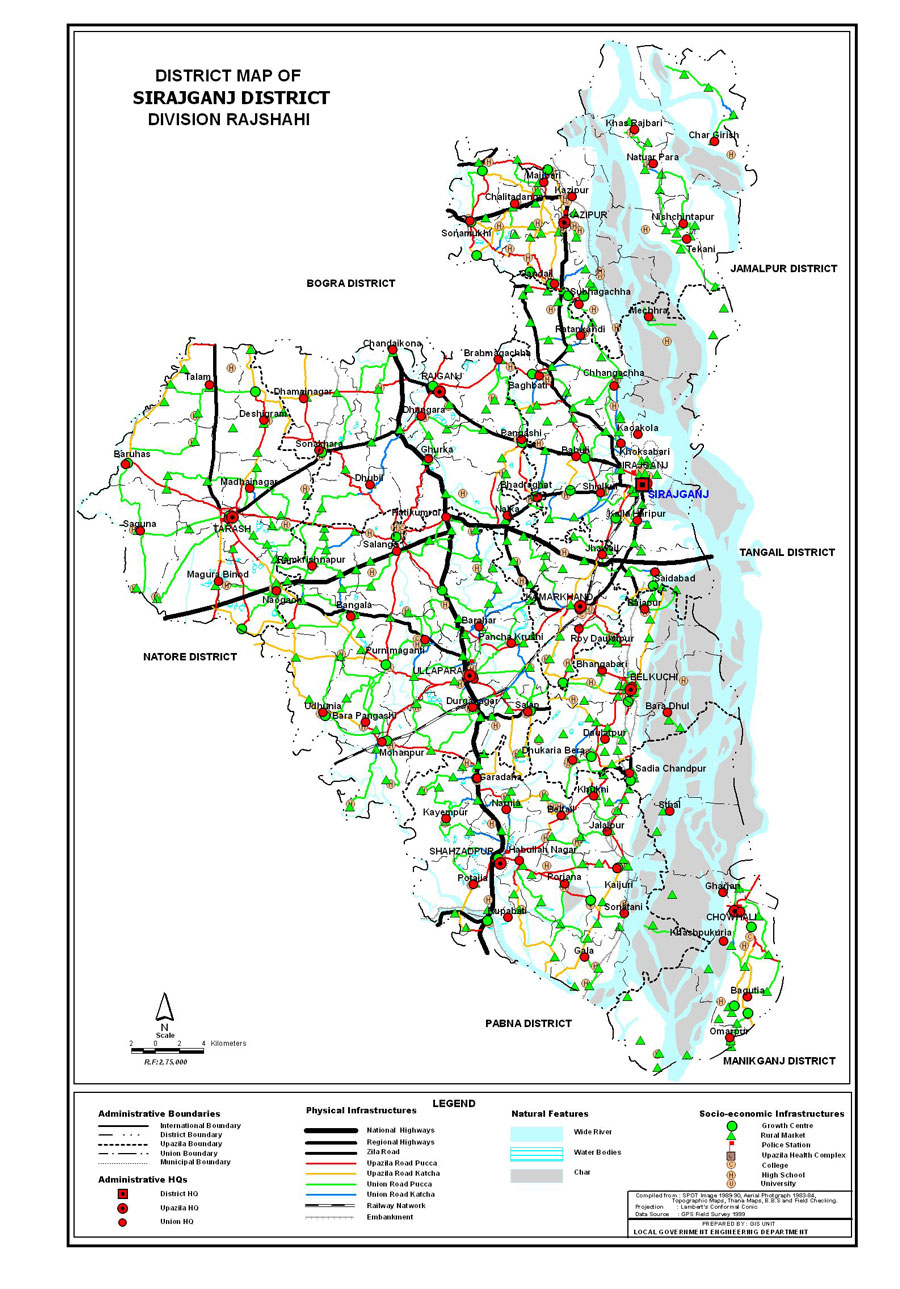
Map of Sirajganj District. Map Courtesy: LGED Bangladesh
Basic Info
Basic Information |
| Sirajganj District (Rajshahi division) with an area of 2,497.92 sq km, is bounded by bogra district on the north, pabna district on the south, tangail and jamalpur districts on the east, Pabna, natore and Bogra districts on the west. Main rivers are Jamuna, Baral, Ichamati, Karatoa and Phuljuri. About 10% area of the chalan beel is located in the tarash upazila of this district. Annual average temperature: maximum 34.6 oC, minimum 11.9 oC; annual rainfall 1610 mm. |
At a Glance |
|
| Area: | 2,497.92 Km2 |
| Upazila Road: | 619.63 Km |
| Union Road: | 772.51 Km |
| Village Road: | 1710.66 Km VA |
| 1197.71 Km VB | |
| Population: | 27,07,011 |
| Density: | 1084 per Km2 |
| Literacy: | 68 % |
| Upazilas: | 9 |
| Union: | 82 |
| Pourashavas: | 6 |
| Primary Schools: | 1563 |
| High Schools: | 255 |
| Colleges: | 42 |
- Details