
Maps
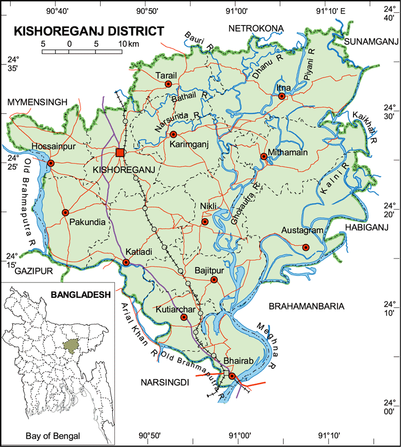
Map of Kishoreganj District. Map Courtesy: Banglapedia
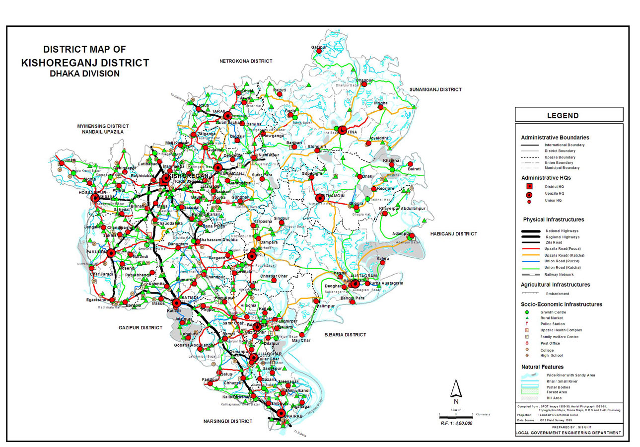
Map of Kishoreganj District. Map Courtesy: LGED Bangladesh
Basic Info
Basic Information |
| Kishoreganj District (Dhaka division) with an area of 2,688.62 sq km, is bounded by netrokona and mymensingh districts on the north, narsingdi district on the southwest and brahmanbaria district on the southeast, sunamganj and habiganj districts on the east, gazipur and Mymensingh districts on the west. The soil formation of the district is alluvial sand coming from Brahmaputra, Meghna and other small rivers. The soil is fertile. Annual average temperature- maximum 33.3 oC, minimum 12 oC; annual rainfall 2174 mm. There are hills and hillocks on the northern and depressions on southern parts of the district. Main rivers are old brahmaputra, meghna, Kalni, Dhanu, Ghorautra, Baurii, Narasunda, Piyain; main depressions: Humaipur (Bajitpur), Somai (Nikli), Barir (Mithamain), Surma Baula (Nikli), and Tallar Haors (Nikli-Bajitpur-Austagram). |
At a Glance |
|
| Area: | 2,688.62 Km2 |
| Upazila Road: | 601.04 Km |
| Union Road: | 736.83 Km |
| Village Road: | 1378.93 Km VA |
| 1924.31 Km VB | |
| Population: | 25,25,221 |
| Density: | 939 per Km2 |
| Literacy: | 21.94 % |
| Upazilas: | 13 |
| Union: | 110 |
| Pourashavas: | 8 |
| Primary Schools: | 667 |
| High Schools: | 205 |
| Colleges: | 30 |
- Details