Basic Info
Basic Information
|
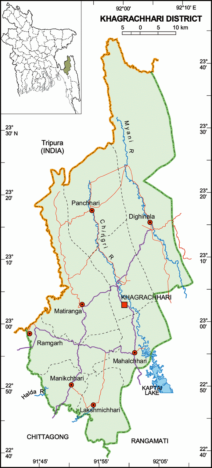
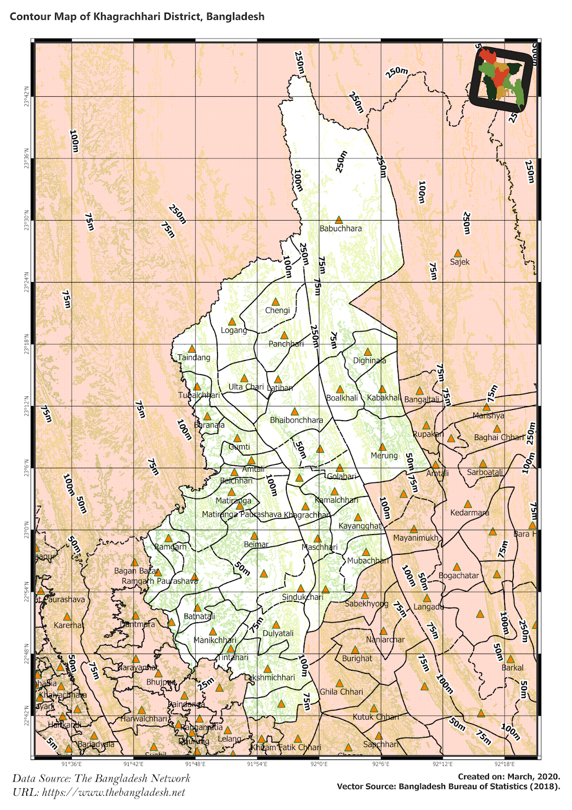
| Khagrachari District (Chittagong division) with an area of 2,699.55 sq km, is bounded by the Indian State of Tripura on the north, rangamati and chittagong districts on the south, Rangamati district on the east, Chittagong district and the Indian State of Tripura on the west. Annual average temperature: maximum 34.6 oC, minimum 13 oC; annual rainfall 3031 mm. The hills of this region are composed of folded sedimentary rocks. Notable hill ranges Alu Tila, Bhanga Mura (416.66 m), Matai Pukhiri (213.36m), Matai Lakho (274.32 m); main rivers are Chingri, Maini, Feni and Halda; lake Mataipukhiri (Debotar pukur). |
At a Glance
|
| Area: |
2,699.55 Km2 |
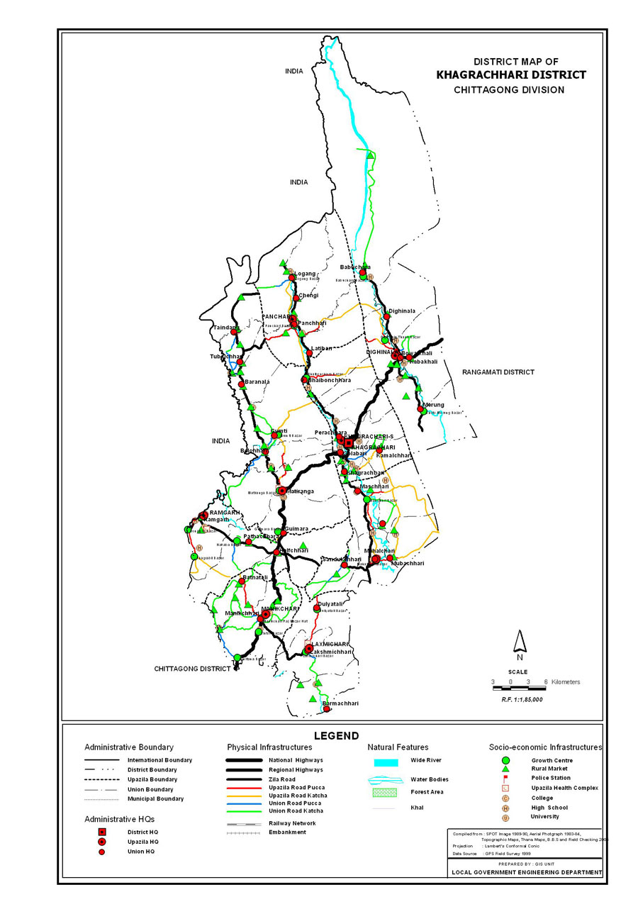
| Upazila Road: |
270.17 Km |
| Union Road: |
287.64 Km |
| Village Road: |
2032.68 Km VA |
| 204.82 Km VB |
| Population: |
5,18,463 |
| Density: |
192 per Km2 |
| Literacy: |
44.07 % |
| Upazilas: |
8 |
| Union: |
34 |
| Pourashavas: |
3 |
| Primary Schools: |
420 |
| High Schools: |
71 |
| Colleges: |
7 |