Basic Info
Basic Information
|
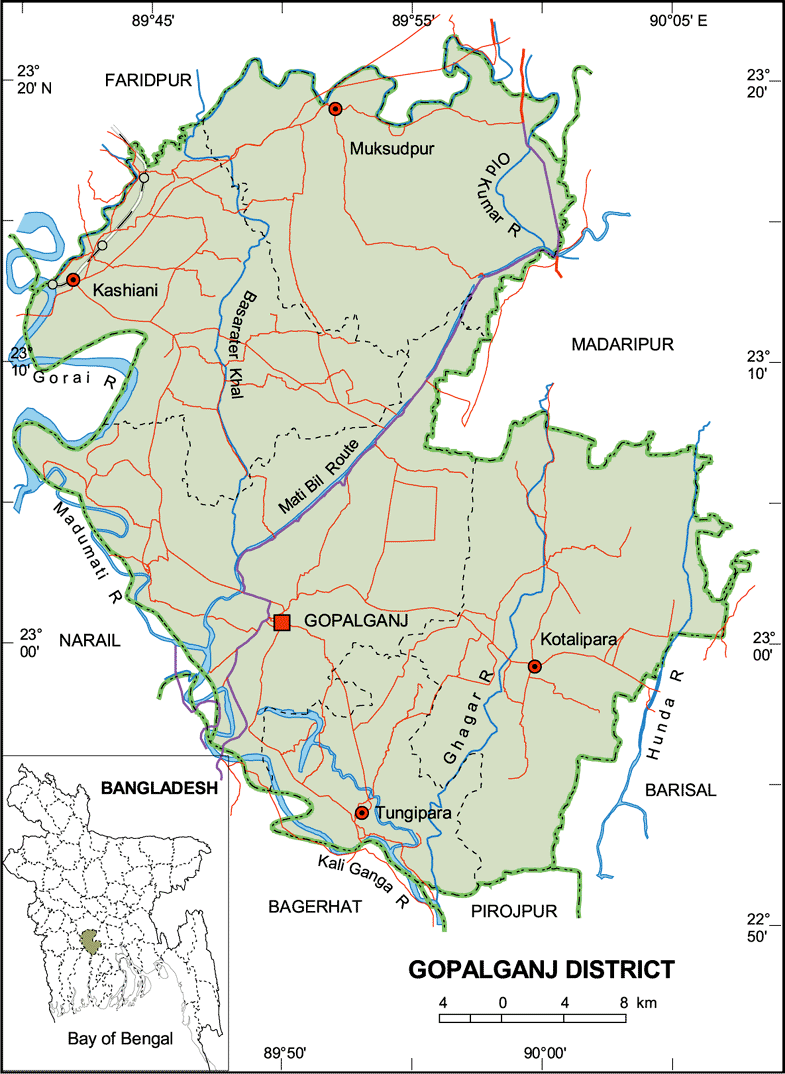
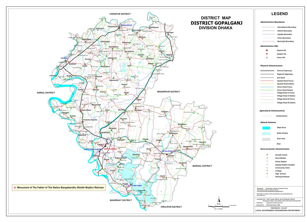
| Gopalganj District (Dhaka division) with an area of 1,489.92 sq km, is bounded by faridpur district on the north, pirojpur and bagerhat districts on the south, madaripur and barisal districts on the east, narail district on the west. Temperature: Average max: 35.8 oC, min: 12.6 oC. Total rainfall 2105 mm. Main rivers: Garai, Madhumati, Kaliganga, Hunda, Ghagar, and old Kumar; Borni Baor, Chandar Beel and Baghyar Beel are notable. |
At a Glance
|
| Area: |
1,489.92 Km2 |
| Upazila Road: |
619.70 Km |
| Union Road: |
329.44 Km |
| Village Road: |
1053.72 Km VA |
| 699.03 Km VB |
| Population: |
11,51,800 |
| Density: |
773 per Km2 |
| Literacy: |
52 % |
| Upazilas: |
5 |
| Union: |
68 |
| Pourashavas: |
4 |
| Primary Schools: |
760 |
| High Schools: |
181 |
| Colleges: |
21 |