• Attractions
      • Back
      • Amusement Parks
      • Archaeology
      • Architecture
      • Art Galleries
      • Culture & Festivals
      • Forests & Jungles
      • Fortresses & Palaces
      • Hill-Tracts
      • Industries
      • Islands
      • Lakes
      • Land Ports
      • Libraries
      • Mountains
      • Movie Theaters
      • Museums
      • Parks & Zoos
      • Rivers
      • Sea Beaches
      • Stadiums
      • Tea States
      • Universities
      • Waterfalls
      • UNESCO World Heritage
  • Emergency & Services
      • Back
      • Airlines
      • Ambulance
      • Blood Banks
      • Fire Services
      • Foreign Missions
      • Hospitals
      • Police Stations
      • Security Services
      • Things To Avoid
      • Useful Words and Phrases

Khulna District

  • Maps
  • Basic Info
  • GoogleMap
  • RESOURCES

Maps

Khulna District Map Bangladesh

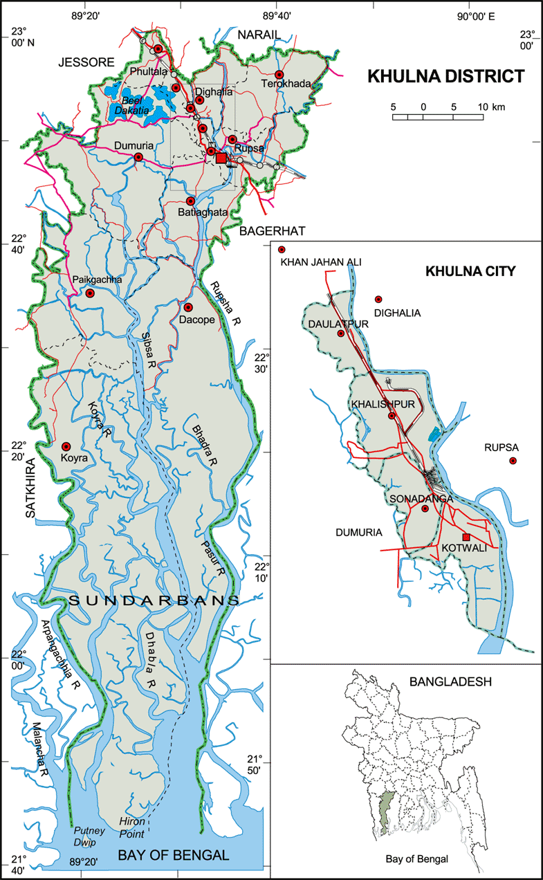
Map of Khulna District. Map Courtesy: Banglapedia

Khulna District Map Bangladesh

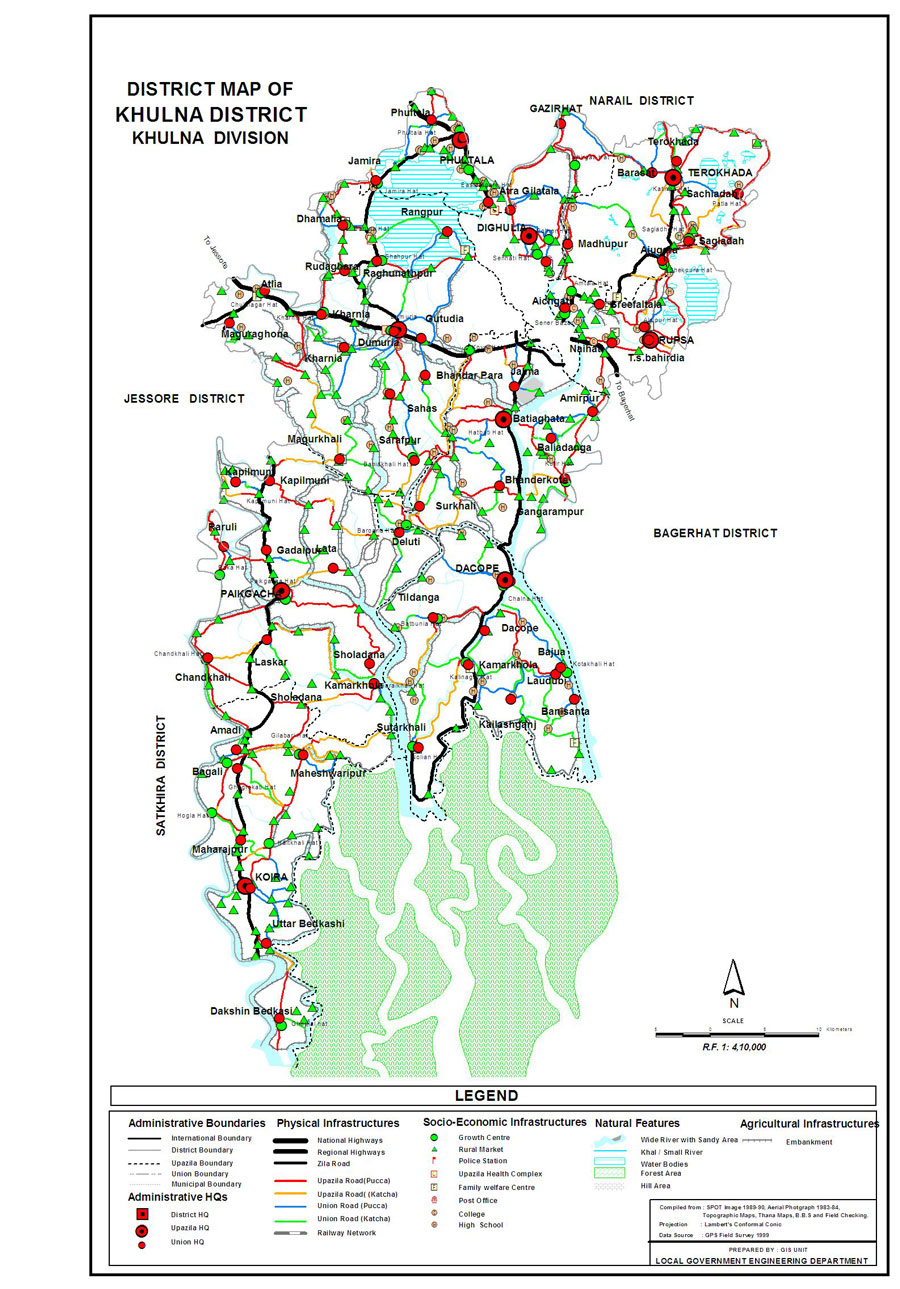
Map of Khulna District. Map Courtesy: LGED Bangladesh

Basic Info

Basic Information

Khulna District (Khulna division) with an area of 4,394.46 sq km, is bounded by jessore and narail districts on the north, the bay of bengal on the south, bagerhat district on the east, satkhira district on the west. Annual average temperature is 35.5 oC and lowest 12.5 oC; annual rainfall is 1710 mm. The main rivers are Rupsa-Pasur, Bhairab, Shibsha, Dharla, Bhadra, Ball, and Kobadak. Forest: sundarbans (166814 hectares).

At a Glance

Area: 4,394.46 Km2
Upazila Road: 746.37 Km
Union Road: 499.76 Km
Village Road: 1740.46 Km VA
2431.57 Km VB
Population: 23,34,285 (2001)
Density: 541 per Km2
Literacy: 43.9 %
Upazilas: 9
Union: 68
Pourashavas: 2
Primary Schools: 1136
High Schools: 396
Colleges: 54

GoogleMap

Reduce


RESOURCES

  • KML file for Khulna District: Download
Details
Last Updated: 03 March 2018
© The Bangladesh Network 2014 - 2026
Tourism Directory of BANGLADESH.
  • About
  • Contact
  • License
  • Privacy Policy
  • Terms of Use
Back to top