Ahmadabad Union, Habiganj
Ahmadabad is a union under Chunarughat Upazila of Habiganj District with a total area of 47.983 square kilometers. The total population of the union is 28,256 among them 14,216 are male and 14,040 are female.
Map of Ahmadabad of Habiganj District.

Map of Ahmadabad of Chunarughat Upazila.
Map Courtesy: The Bangladesh Network.
- Details
- Written by Mahamudul Hasan
Chunarughat Paurashava, Habiganj
Chunarughat Paurashava is a union under Chunarughat Upazila of Habiganj District with a total area of 3.649 square kilometers. The total population of the union is 4,562 among them 2,330 are male and 2,232 are female.
Map of Chunarughat Paurashava of Habiganj District.

Map of Chunarughat Paurashava of Chunarughat Upazila.
Map Courtesy: The Bangladesh Network.
- Details
- Written by Mahamudul Hasan
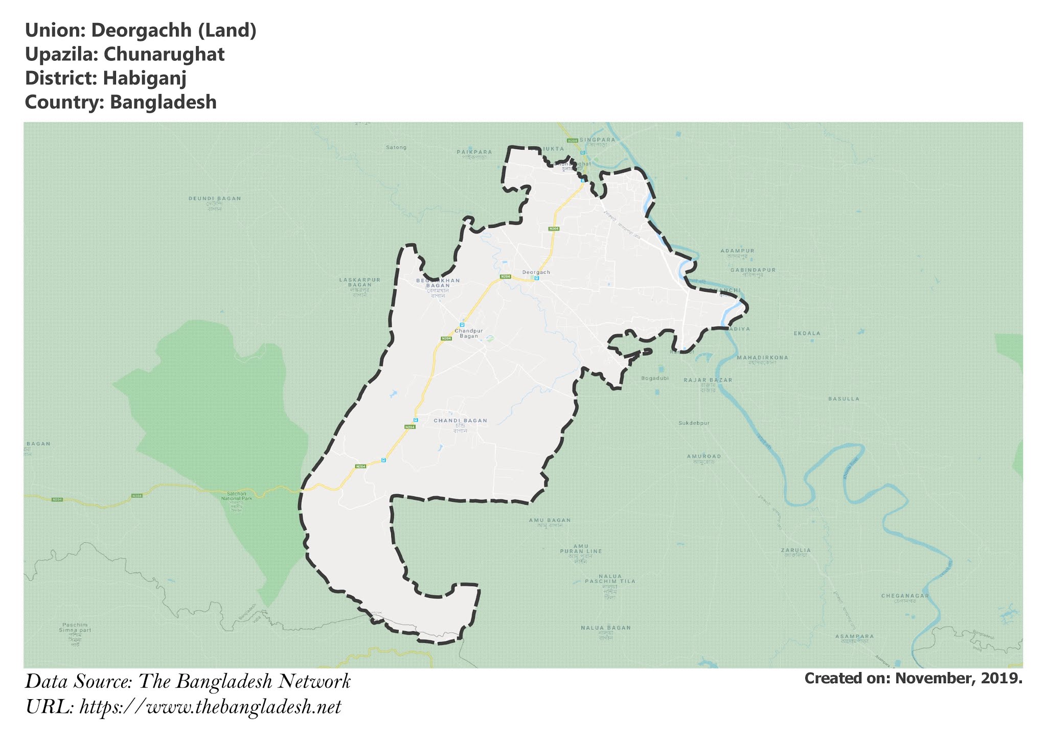
Deorgachh Union, Habiganj
Deorgachh is a union under Chunarughat Upazila of Habiganj District with a total area of 47.573 square kilometers. The total population of the union is 34,192 among them 17,358 are male and 16,834 are female.
Map of Deorgachh of Habiganj District.

Map of Deorgachh of Chunarughat Upazila.
Map Courtesy: The Bangladesh Network.
- Details
- Written by Mahamudul Hasan
Chunarughat Union, Habiganj
Chunarughat is a union under Chunarughat Upazila of Habiganj District with a total area of 15.988 square kilometers. The total population of the union is 19,990 among them 10,211 are male and 9,779 are female.
Map of Chunarughat of Habiganj District.

Map of Chunarughat of Chunarughat Upazila.
Map Courtesy: The Bangladesh Network.
- Details
- Written by Mahamudul Hasan
Gazipur Union, Habiganj
Gazipur is a union under Chunarughat Upazila of Habiganj District with a total area of 46.889 square kilometers. The total population of the union is 32,058 among them 15,963 are male and 16,095 are female.
Map of Gazipur of Habiganj District.

Map of Gazipur of Chunarughat Upazila.
Map Courtesy: The Bangladesh Network.
- Details
- Written by Mahamudul Hasan
