Sapleza Union, Pirojpur
Sapleza is a union under Mathbaria Upazila of Pirojpur District with a total area of 59.266 square kilometers. The total population of the union is 32,222 among them 16,042 are male and 16,180 are female.
Map of Sapleza of Pirojpur District.
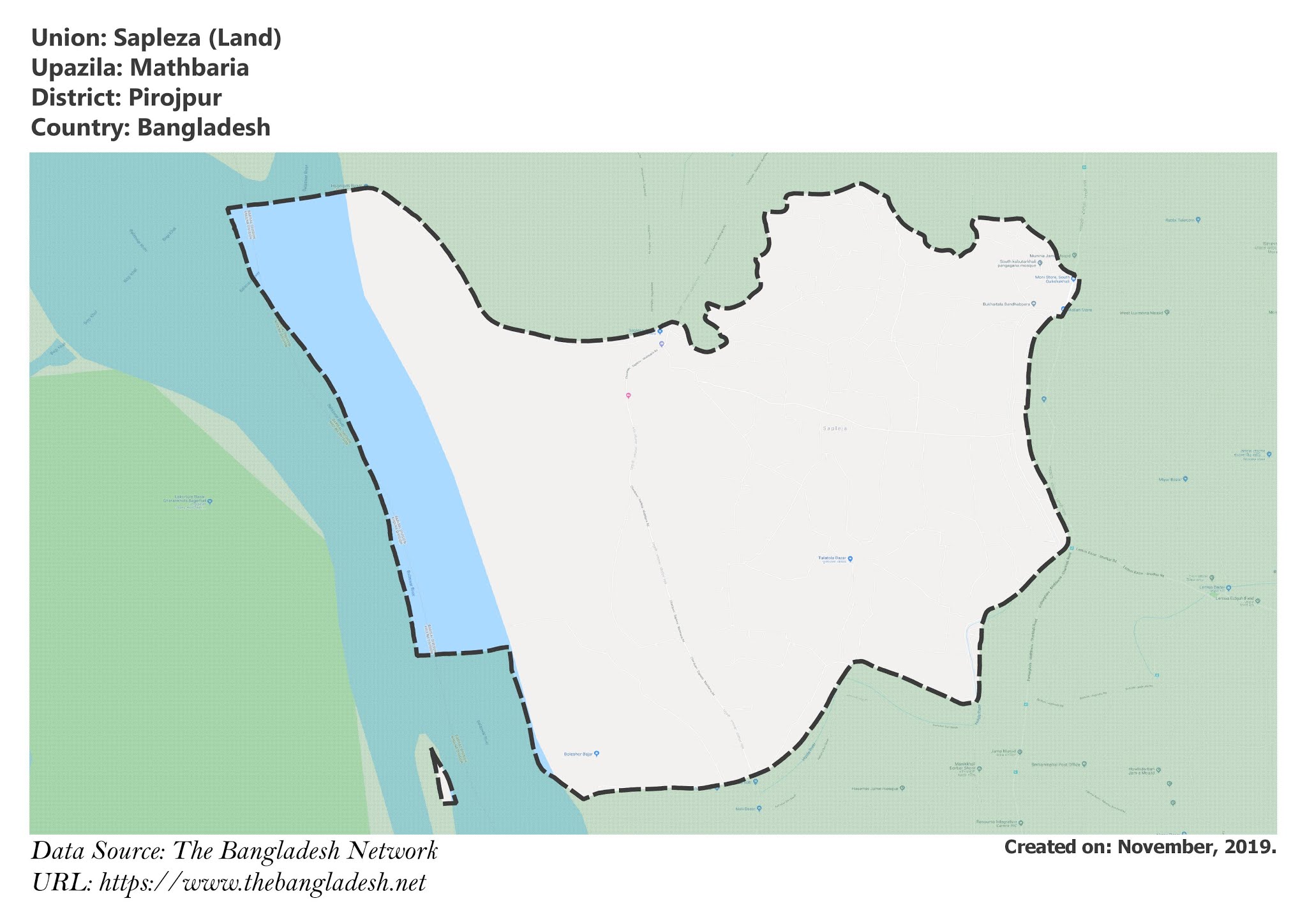
Map of Sapleza of Mathbaria Upazila.
Map Courtesy: The Bangladesh Network.
- Details
- Written by Mahamudul Hasan
Tikikata Union, Pirojpur
Tikikata is a union under Mathbaria Upazila of Pirojpur District with a total area of 30.844 square kilometers. The total population of the union is 26,348 among them 13,252 are male and 13,096 are female.
Map of Tikikata of Pirojpur District.
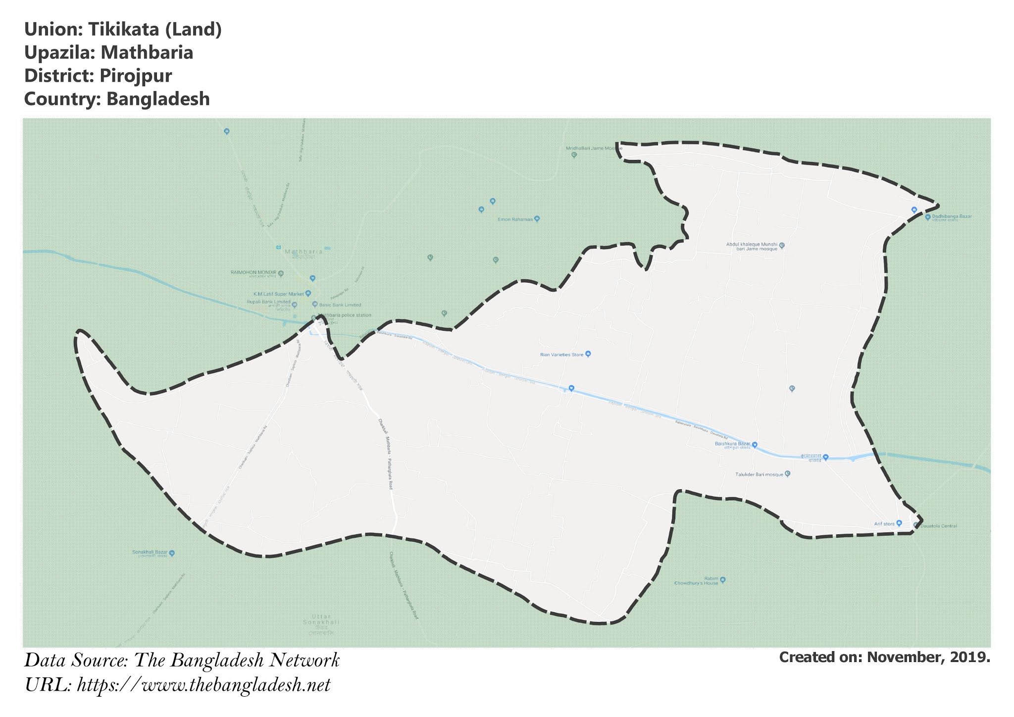
Map of Tikikata of Mathbaria Upazila.
Map Courtesy: The Bangladesh Network.
- Details
- Written by Mahamudul Hasan
Amragachia Union, Pirojpur
Amragachia is a union under Mathbaria Upazila of Pirojpur District with a total area of 33.351 square kilometers. The total population of the union is 22,964 among them 11,459 are male and 11,505 are female.
Map of Amragachia of Pirojpur District.
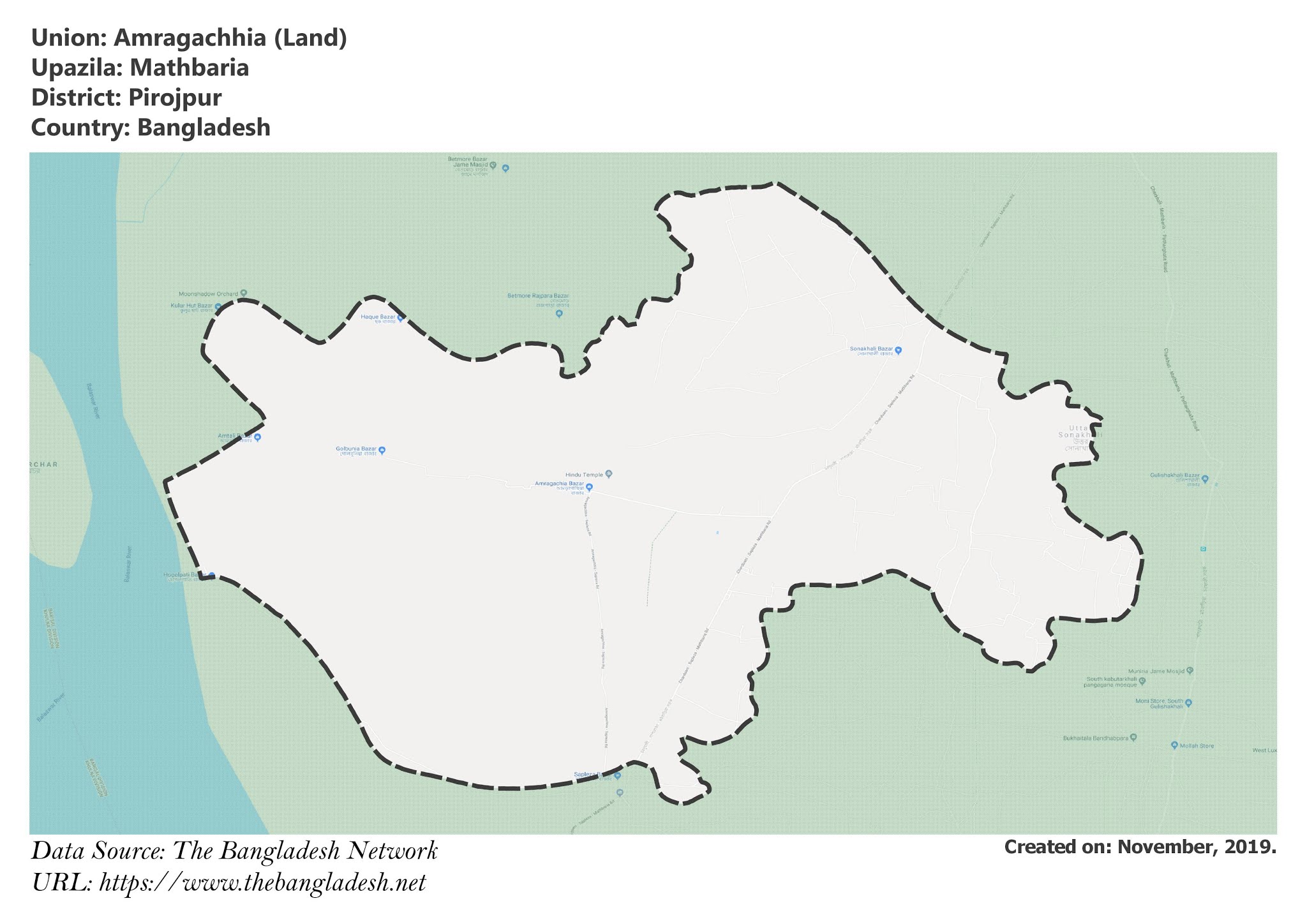
Map of Amragachia of Mathbaria Upazila.
Map Courtesy: The Bangladesh Network.
- Details
- Written by Mahamudul Hasan
Tushkhali Union, Pirojpur
Tushkhali is a union under Mathbaria Upazila of Pirojpur District with a total area of 21.272 square kilometers. The total population of the union is 16,912 among them 8,290 are male and 8,622 are female.
Map of Tushkhali of Pirojpur District.
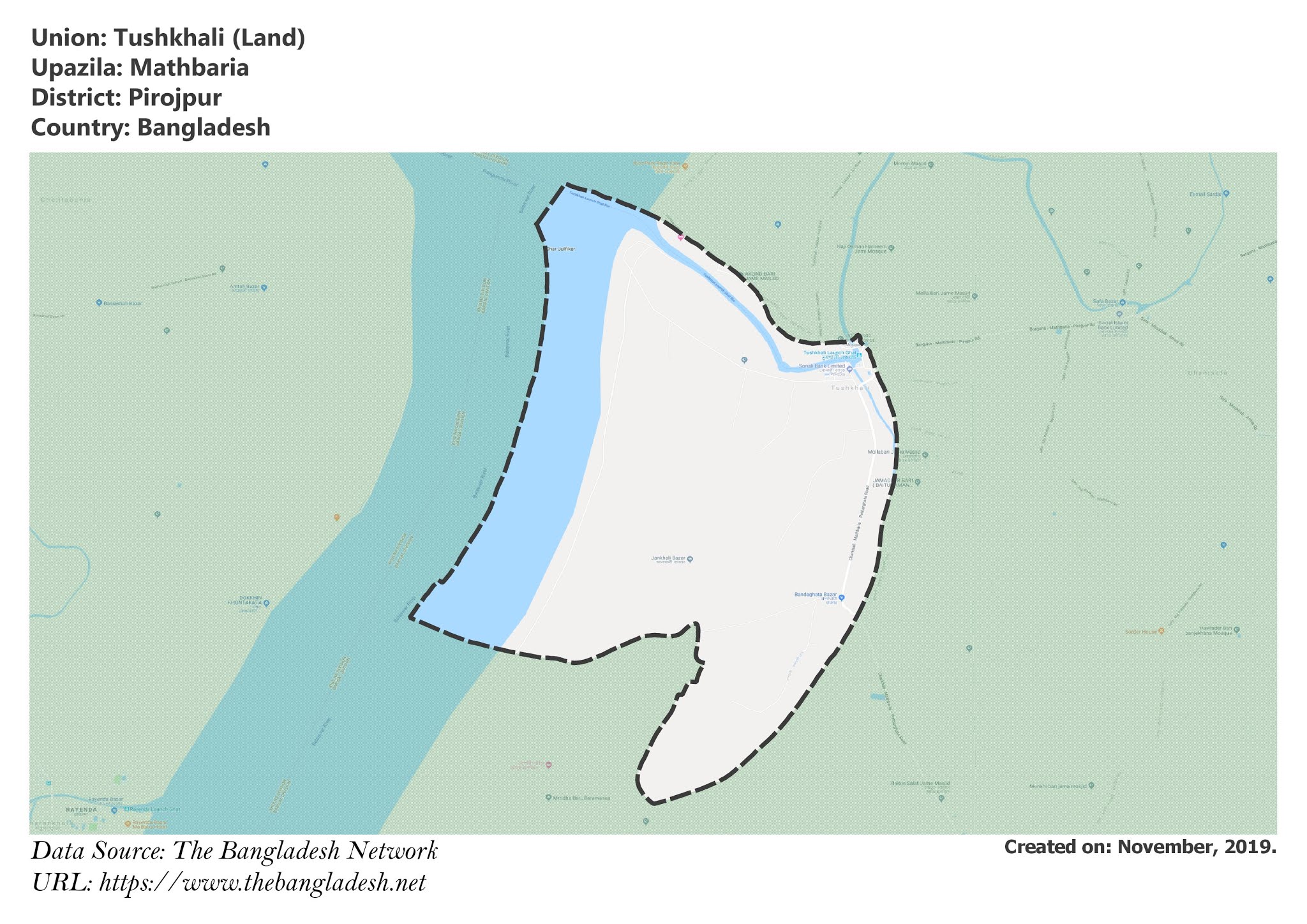
Map of Tushkhali of Mathbaria Upazila.
Map Courtesy: The Bangladesh Network.
- Details
- Written by Mahamudul Hasan
Bara Machua Union, Pirojpur
Bara Machua is a union under Mathbaria Upazila of Pirojpur District with a total area of 23.793 square kilometers. The total population of the union is 11,837 among them 5,975 are male and 5,862 are female.
Map of Bara Machua of Pirojpur District.
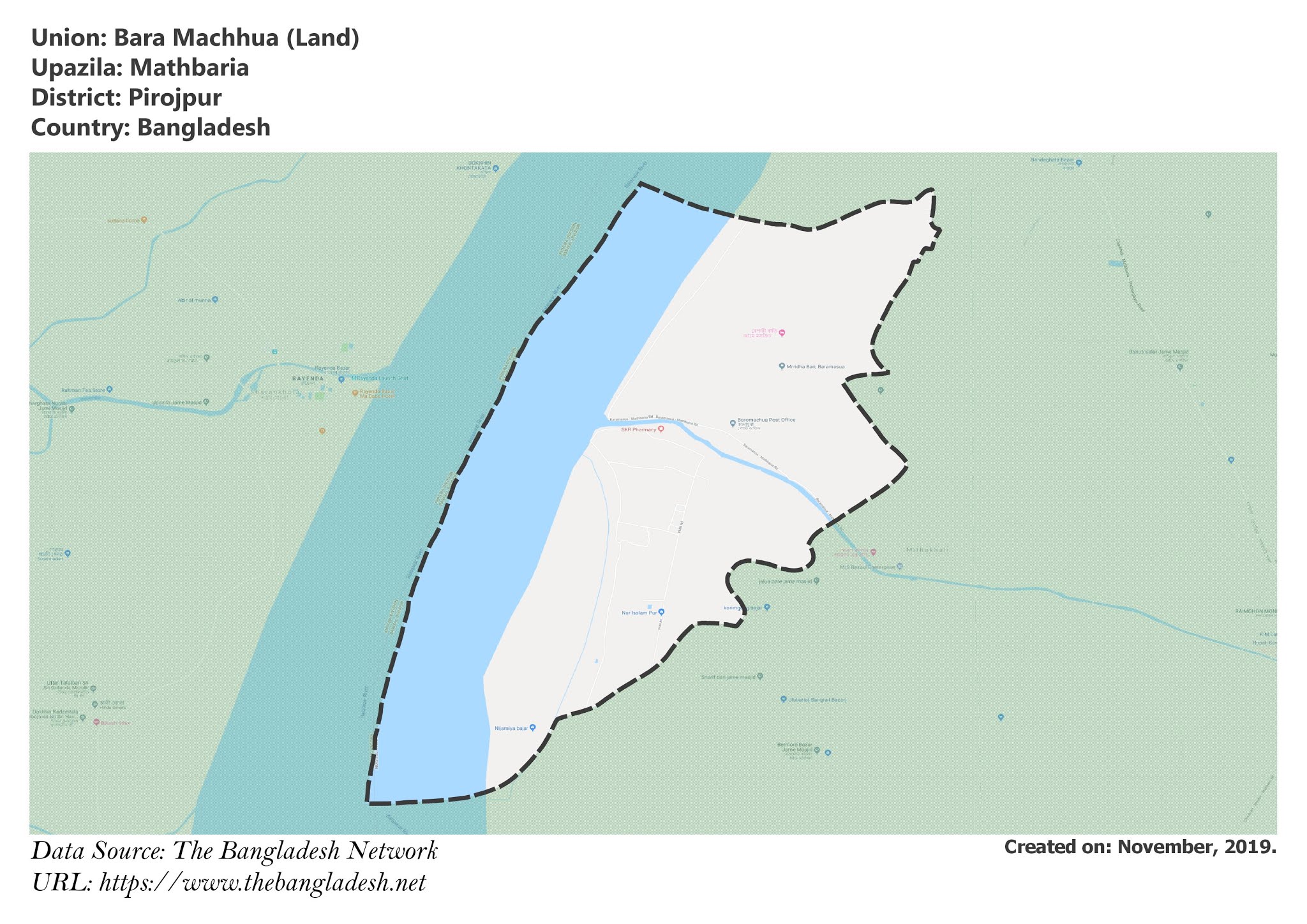
Map of Bara Machua of Mathbaria Upazila.
Map Courtesy: The Bangladesh Network.
- Details
- Written by Mahamudul Hasan
