Khulna City
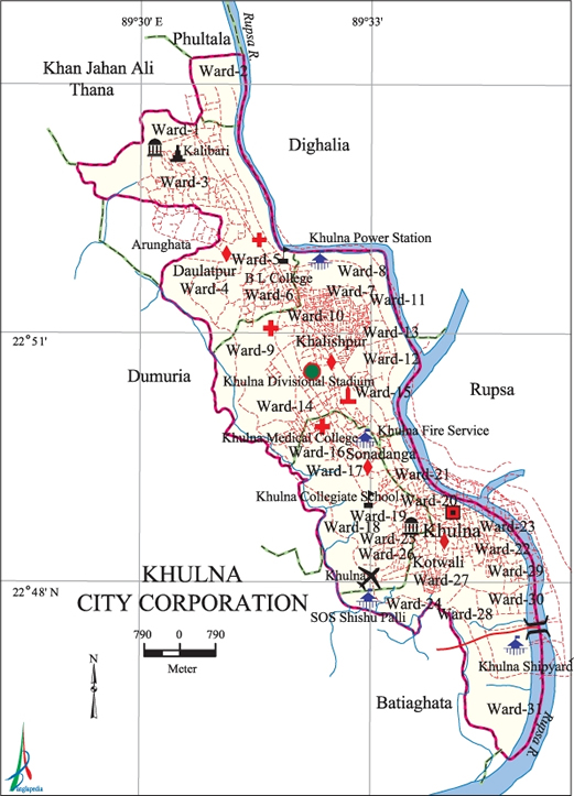
Map of Khulna City Corporation. Map Courtesy: Banglapedia
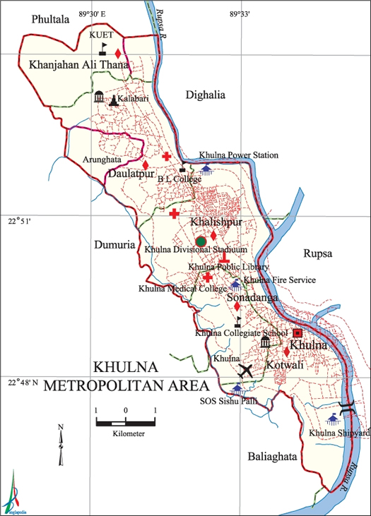
Map of Khulna City Metropolitan Area. Map Courtesy: Banglapedia
- Details
- Written by Zannat
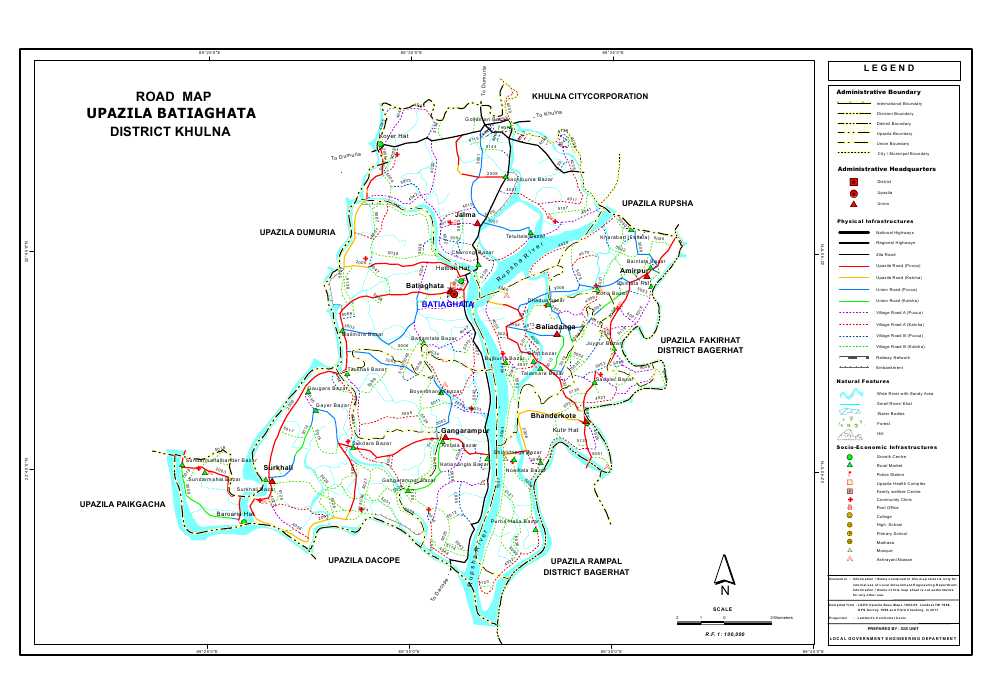
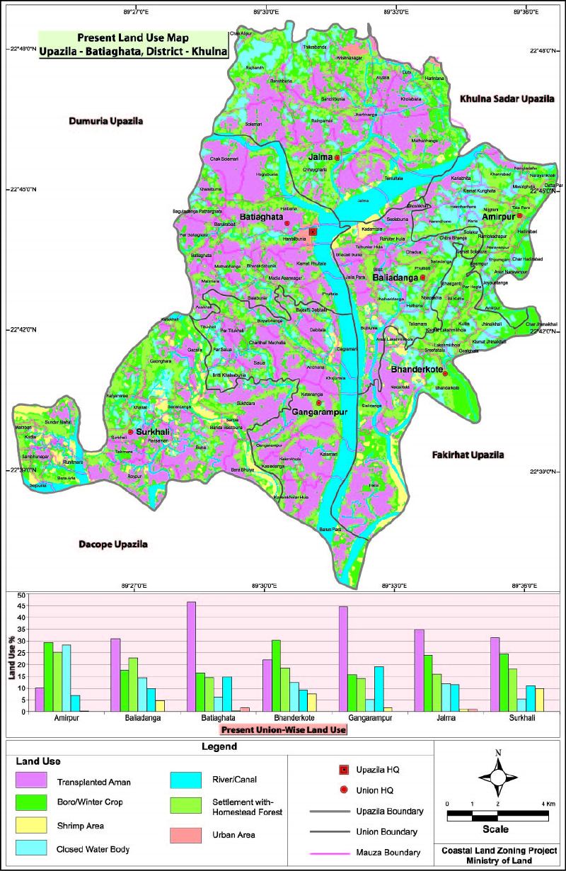
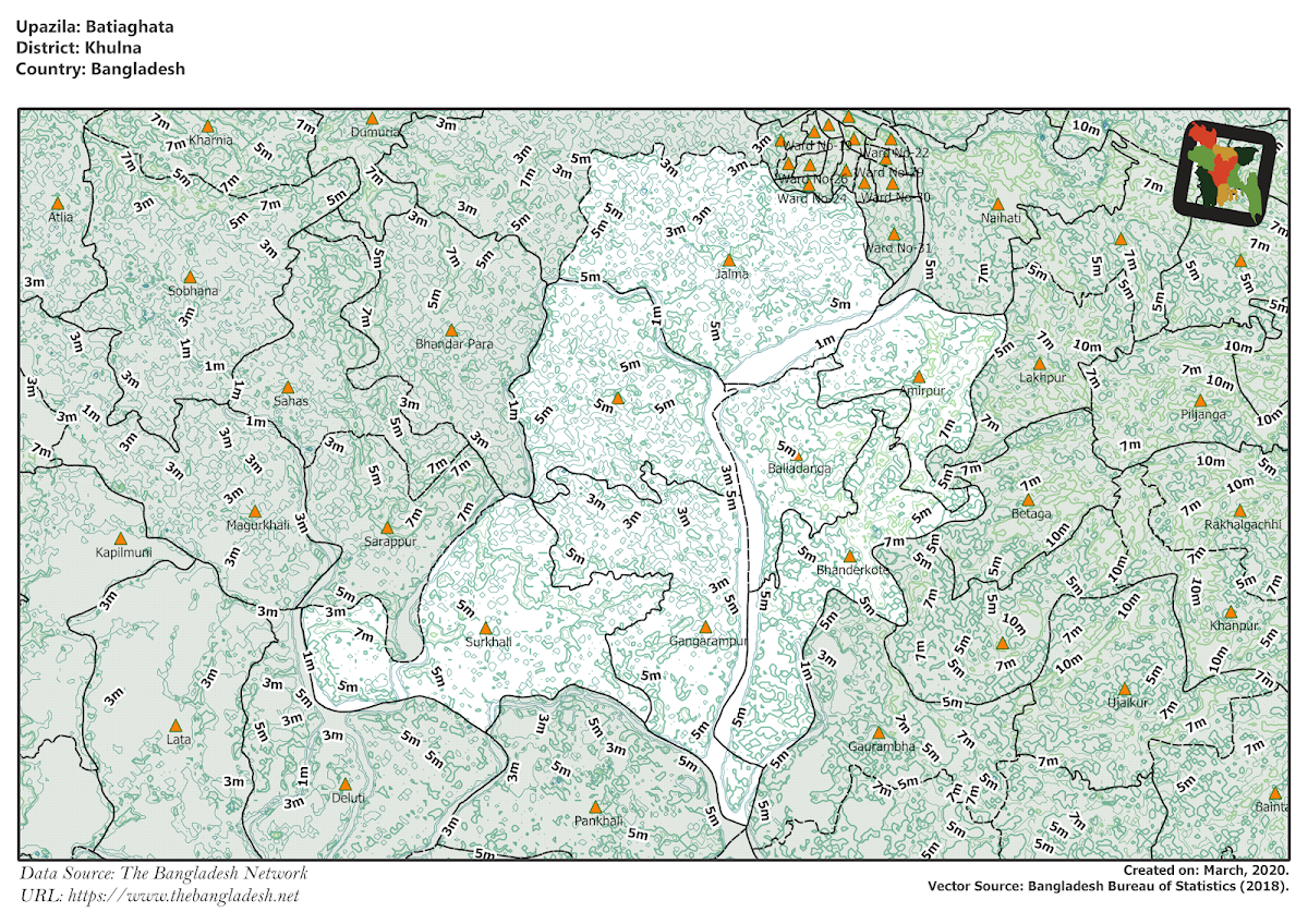
Batiaghata Upazila
Batiaghata Upazila of khulna district, having an area of 248 square kilometers and consists of 7 unions. The unions are: Amirpur, Baliadanga, Batiaghata, Bhandarkote, Gangarampur, Jalma, Surkhali.
Upazila Map
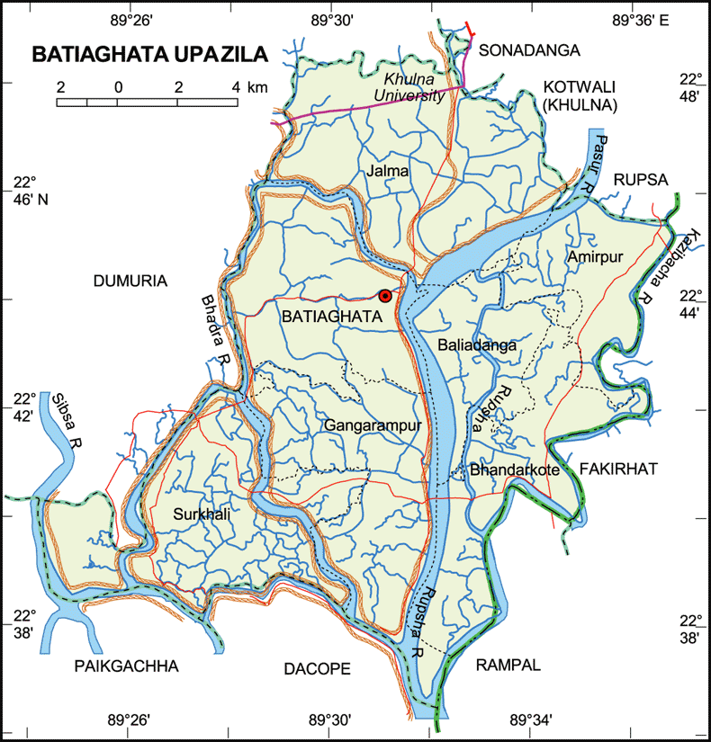
Map of Batiaghata Upazila of Khulna District. Map Courtesy: Banglapedia

Map of Batiaghata Upazila of Khulna District. Map Courtesy: LGED Bangladesh
- Details
- Written by Zannat
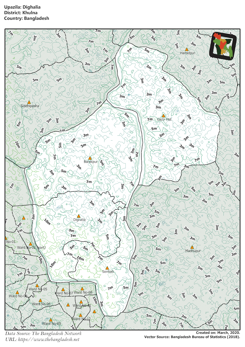
Dighalia Upazila
Dighalia Upazila of khulna district, having an area of 77 square kilometers and consists of 12 unions. The unions are: Senhati, Gazirhat, Barakpur, Aronghata, Jogipol, Digholia.
Upazila Map
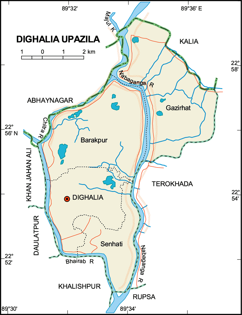
Map of Dighalia Upazila of Khulna District. Map Courtesy: Banglapedia

Map of Dighalia Upazila of Khulna District. Map Courtesy: LGED Bangladesh


- Details
- Written by Zannat
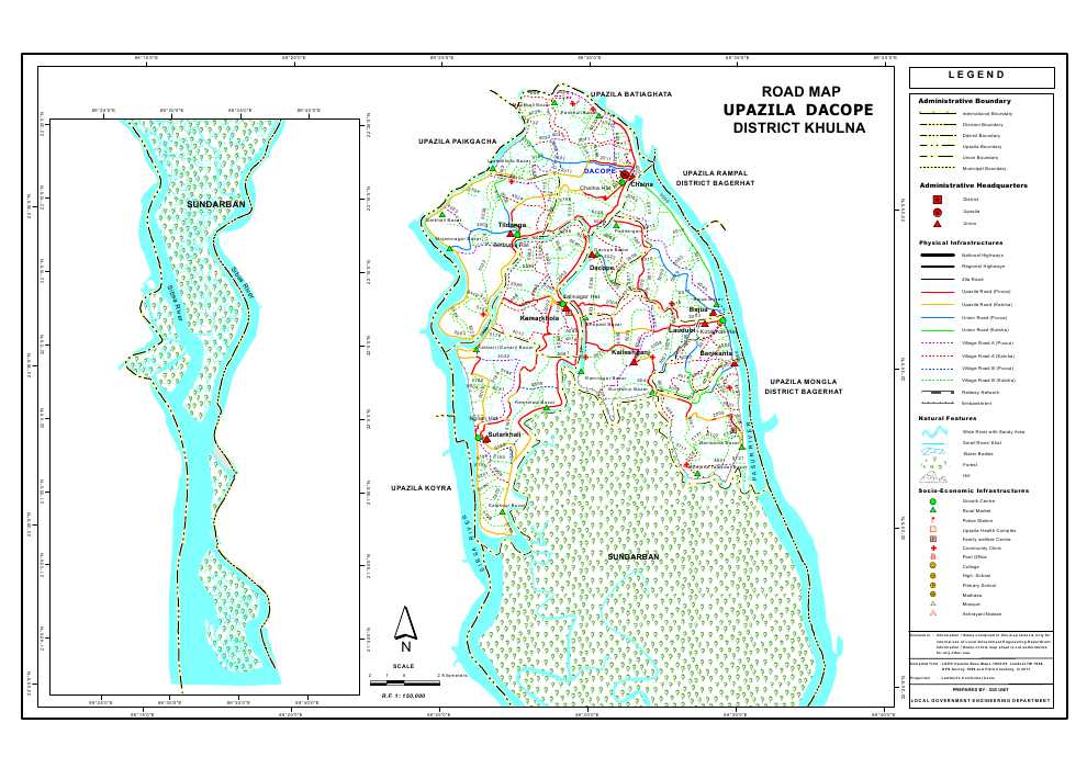
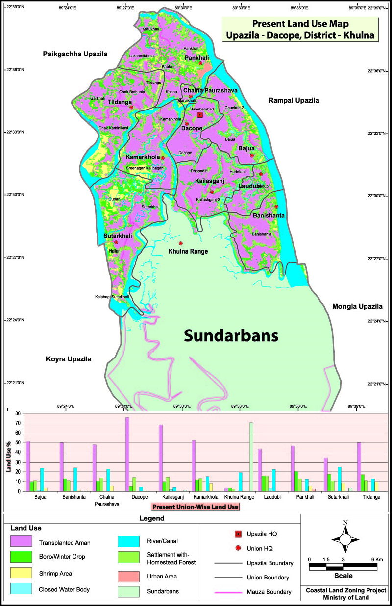
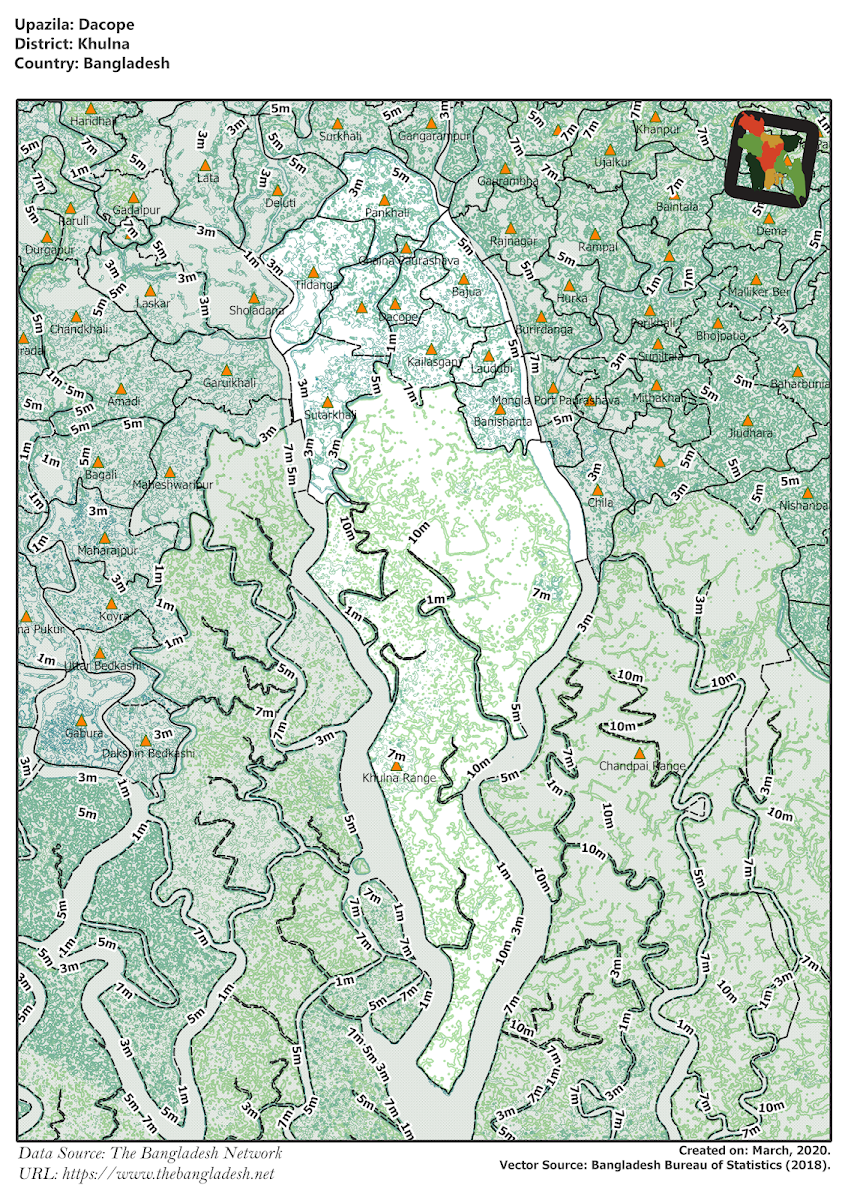
Dacope Upazila
Dacope Upazila of khulna district, having an area of 991 square kilometers and consists of 9 unions. The unions are: Bajua, Banishanta, Laudobe, Chalna, Dacope, Koilashganj, Kamarkhola, Sutarkhali, Tildanga.
Upazila Map
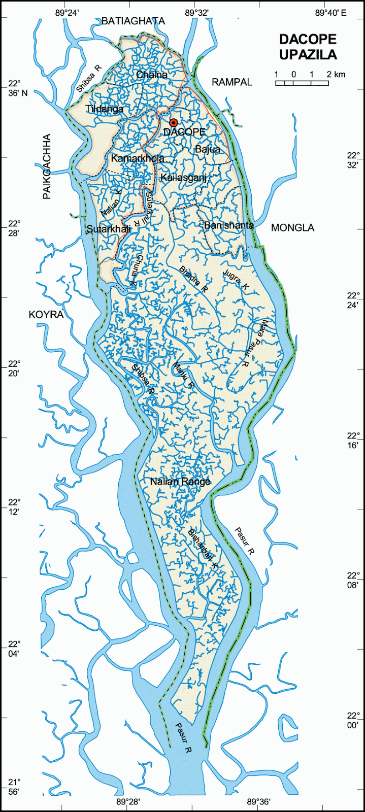
Map of Dacope Upazila of Khulna District. Map Courtesy: Banglapedia

Map of Dacope Upazila of Khulna District. Map Courtesy: LGED Bangladesh
- Details
- Written by Zannat
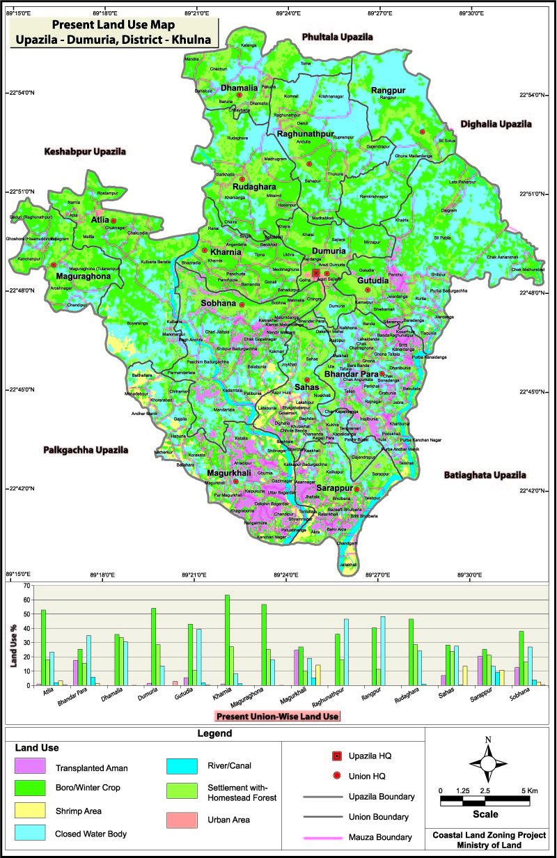
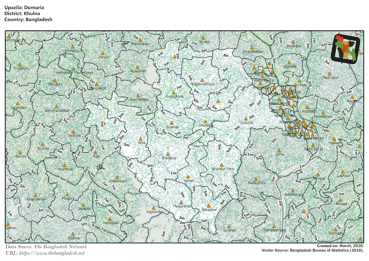
Dumuria Upazila
Dumuria Upazila of khulna district, having an area of 454 square kilometers and consists of 14 unions. The unions are: Dumuria, Magurghona, Vandarpara, Sahos, Rudaghora, Ghutudia, Shovna, Khornia, Atlia, Dhamalia, Raghunathpur, Rongpur, Shorafpur, Magurkhali.
Upazila Map
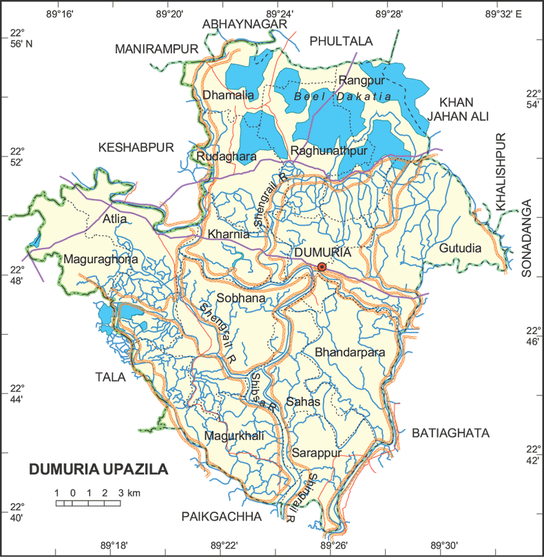
Map of Dumuria Upazila of Khulna District. Map Courtesy: Banglapedia

Map of Dumuria Upazila of Khulna District. Map Courtesy: LGED Bangladesh

- Details
- Written by Zannat